




Weather Headlines:
- Light, isolated showers possible into Friday
- Coastal Flood Advisory until 2pm Friday for minor coastal flooding
- A larger storm brings more widespread rain Halloween night into Sunday morning.
- Periods of rain are possible for trick-or-treaters
- Gusty winds overnight Saturday into Sunday
- Slight chance of showers Wednesday
While the Coastal Flood Warning has ended, a Coastal Flood Advisory remains in effect until 2pm Friday for the threat of minor coastal flooding, rather than significant coastal flooding. The greatest threat of flooding will be around noon when high tide peaks around 7.25 feet, coupled with waves of 3 to 5 feet.
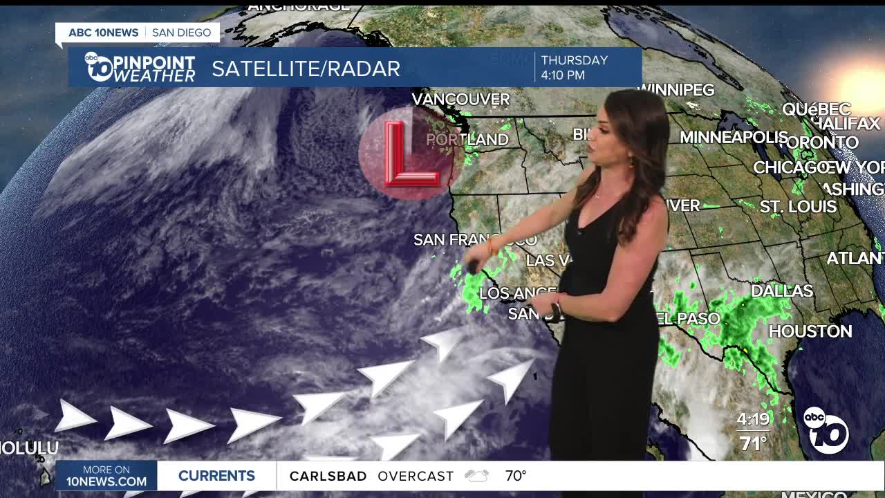
A cold Pacific Storm will make it's way from the Northwest to Southern California into Halloween weekend. It will tap into an atmospheric river and bring widespread rain, mostly late Saturday night into Sunday morning.
Before that storm arrives there is plenty of moisture already surging into the county which will bring a chance of isolated and light showers into Friday. Any accumulations will be light, mostly between a few hundreths of an inch to .20 inch.
A few showers are possible during the day on Saturday, with the chance of rain picking up during trick-or-treating. The worst of the rain will likely hold off until overnight Saturday into early Sunday morning, so the earlier you can head out and get home from celebrating Halloween, the better chance you have to stay dry.
Overnight Saturday the rain will be heavy at times and localized flooding is possible along with a slight chance of thunderstorms.
Depending on where the storm ends up actually tracking will determine how much rain we get. Rainfall forecast totals will average between .70 to 1.25" for the coast and valleys, 1 to 2" in the mountains, and less than 0.50" in the deserts. There will be some areas that see less and others that see more, especially if and where thunderstorms form.
Wind will pick up overnight Saturday into Sunday with gusts of 20 to 30mph for the coast and valleys and 30 to 50mph in the mountains and deserts.
Isolated showers will continue Sunday before we dry out completely Monday. There is a chance of another round of lighter rain on Wednesday.
It will be cool through the weekend with temperatures mostly trending 5 to 15 degrees below average, with the coolest temperatures in the mountains. Warmer next week, but still below normal with 70s for the coast, valleys and deserts and 50s and 60s in the mountains.
We fall back on Sunday as Daylight Saving Time ends, so remember to move your clocks back one hour before you go to bed on Halloween.
Friday's Highs:
Coast: 67-71°
Inland: 65-73°
Mountains: 53-64°
Deserts: 80-82°
Follow ABC 10News Chief Meteorologist Megan Parry on Facebook at Megan Parry 10News, Instagram @mis_meg_wx and Twitter @10NewsParry.
