




Weather Headlines:
- Coastal Flood Advisory until noon Tuesday, then Beach Hazard Statement until 10pm.
- Above-normal temperatures through Thursday
- Pattern change with the storm door opening bringing the first chance of rain as early as Friday, continuing into early next week
- A series of storms will bring more chances of rain through the end of the month
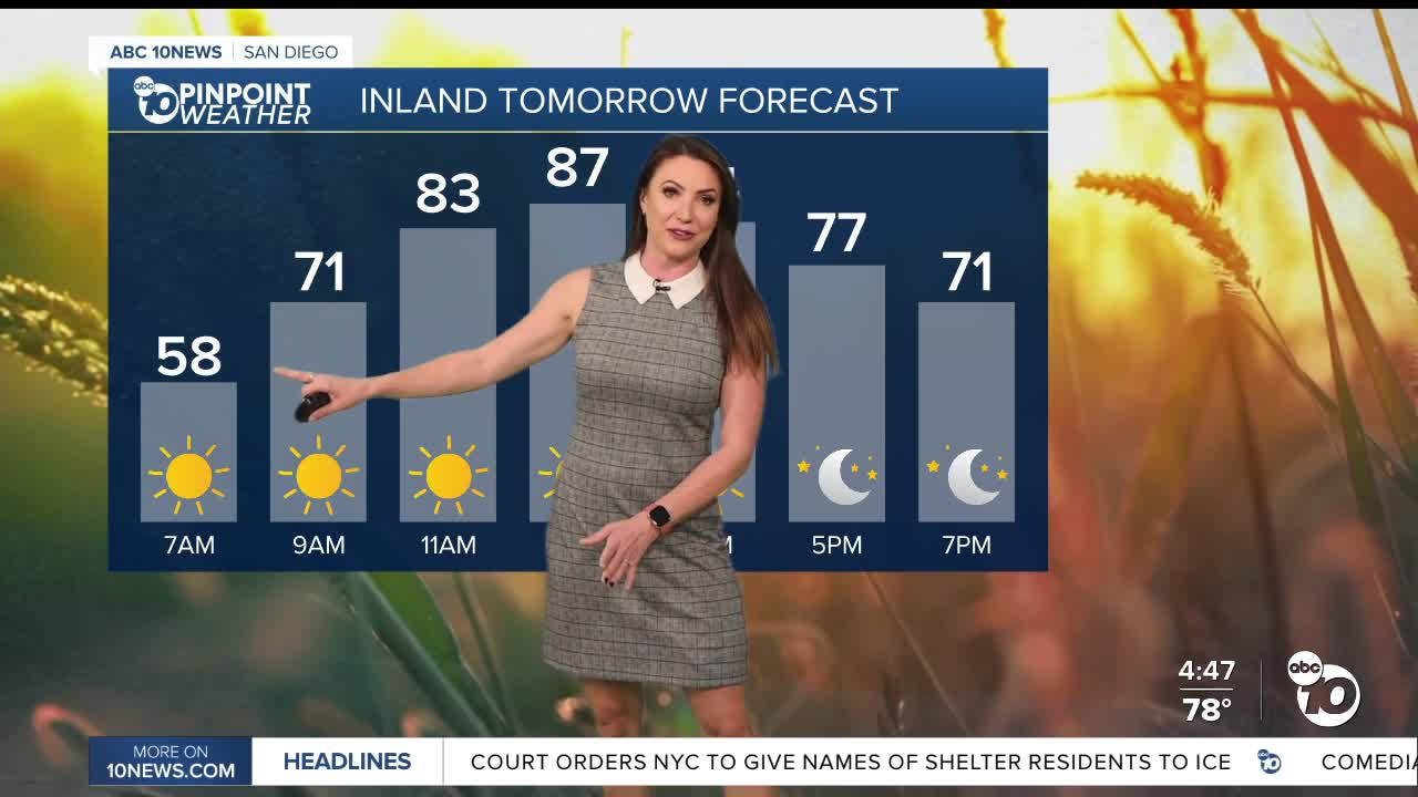
Temperatures will remain warm for several more days, with highs 5 to 15 degrees above normal through Thursday. That means 80s for nearly the entire county, besides a few 70s for the cooler coastal areas and the mountains, which will mostly be in the 60s.
A Coastal Flood Advisory continues until noon on Tuesday as morning high tides top out above 7 feet, bringing the threat of minor to locally moderate coastal flooding. A Beach Hazards Statement will continue until 10pm Tuesday for waves of 3 to 6 feet and strong rip currents.
The storm door may open as early as Friday as our first chance of rain arrives from a Pacific storm. Shower activity looks to be light to moderate at this time, with Saturday the best chance of scattered showers. Slight chance of showers on Sunday before another storm brings scattered showers on Monday, potentially lingering into Tuesday.
There are a series of storms that will bring more chances of rain through the end of the month.
King Tides are forecast to peak around 8 feet the week of Thanksgiving and the week of Christmas, bringing a threat of coastal flooding. If you live along the coast, stay prepared, know your flood risk, stay informed, and have a plan.
Tuesday's Highs:
Coast: 78-85°
Inland: 80-88°
Mountains: 64-79°
Deserts: 85-87°
Follow ABC 10News Chief Meteorologist Megan Parry on Facebook at Megan Parry 10News, Instagram @mis_meg_wx and Twitter @10NewsParry.
