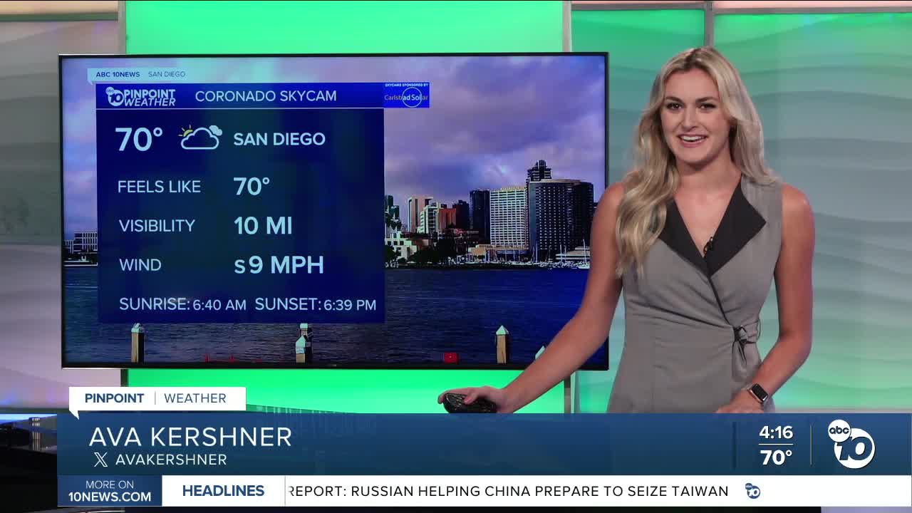


We woke up to some gray skies in San Diego on Friday, and we are in for even more wet weather on Saturday.
The coast won’t be having too high of chances for rainfall, but our mountains and deserts have the potential for thunderstorms.
This cool, wet weekend is thanks to a low pressure system hanging out close to California.
It will be keeping these below average temperatures throughout the county.
Our coastline will be in the low 70s tomorrow with cloudy skies to start and finish your day.
Our inland spots will reach highs in the upper 70s, but still will have partly cloudy conditions lasting into the morning.
Our mountains will be the coolest of us all, with highs expected to reach the upper 60s.
Deserts will be in the upper 80s.
Our mountains have a Flood Watch in effect from 11 a.m. to 7 p.m. on Saturday as of Friday evening.
This means we could see flooding in streams, low lying areas, and creeks, as well as debris flow in burn scarred spots.
We are also keeping an eye on our coastline.
A Beach Hazards Statement will go into effect Sunday morning through Tuesday evening, telling us there will be strong rip currents and sets that could reach 8 feet.
By Sunday the entire county will be dry, and we’ll begin to warm up.
Saturday’s Highs:
Coast: 71-76°
Inland: 73-78°
Mountains: 67-75°
Deserts: 85-88°
Follow ABC 10News Weather Anchor Ava Kershner on Instagram, Facebook, and X.
