

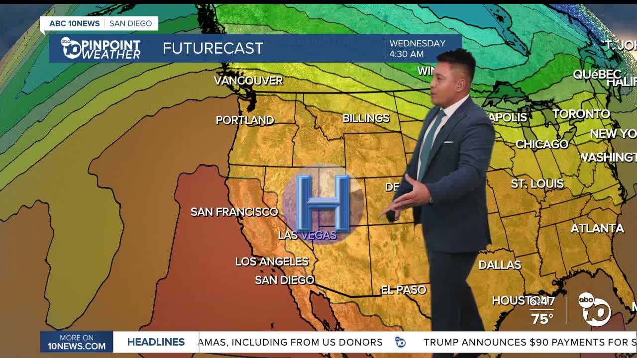


SAN DIEGO (KGTV) — San Diego County is in for another scorching day Sunday, with forecasters expecting the hottest temperatures of the current heat wave as Santa Ana winds continue to push warm, dry air toward the coast.
High pressure combined with offshore winds could send temperatures into the mid-90s and low triple digits across parts of the coast and inland valleys. That would put some communities roughly 15 to 25 degrees above normal for early October. Several locations already broke or tied daily temperature records Saturday.
The unusual part of this heat wave is just how far west the hottest temperatures are reaching. Heading to the beach may not provide much relief Sunday, with National Weather Service forecasts calling for temperatures approaching or exceeding 100 degrees in some coastal communities. San Ysidro, for example, is forecast to reach 102 degrees, while areas around Clairemont could reach 100.
Santa Ana winds are a major reason for the heat. Easterly winds were already gusting between 20 and 35 mph in some locations early Sunday, with the strongest winds expected around the coastal mountain slopes. Offshore flow limits the cooling influence of the Pacific Ocean, allowing temperatures to climb even near the coast.
An Extreme Heat Warning remains in effect through 8 p.m. Thursday for the San Diego County coast and valleys. Warm overnight temperatures will also provide limited relief from the heat.
When does San Diego cool down?
Sunday is expected to be the peak of the heat, but the cooldown will be gradual.
Offshore flow will slowly weaken over the next several days, allowing the afternoon sea breeze to push farther inland. Temperatures will remain well above normal through Thursday, although coastal communities should gradually become less hot.
Marine layer clouds could begin returning as early as Wednesday night into Thursday morning.
A more noticeable change arrives Friday as high pressure weakens and a trough approaches the West Coast. Coastal temperatures should fall into the 80s, while inland valleys could remain in the mid-to-upper 90s.
A much bigger cooldown is possible next weekend. Temperatures could fall to just above normal Saturday and potentially a few degrees below normal Sunday. There is also a slight chance of widespread light rain Sunday, although confidence remains low this far out.
Sunday high temperature ranges
COAST: 95–102°
INLAND VALLEYS: 95–103°
MOUNTAINS: 80–90°
DESERTS: 95–105°
