



You've been warned -- as hot as it already feels in San Diego County, it's about to get even worse this week.
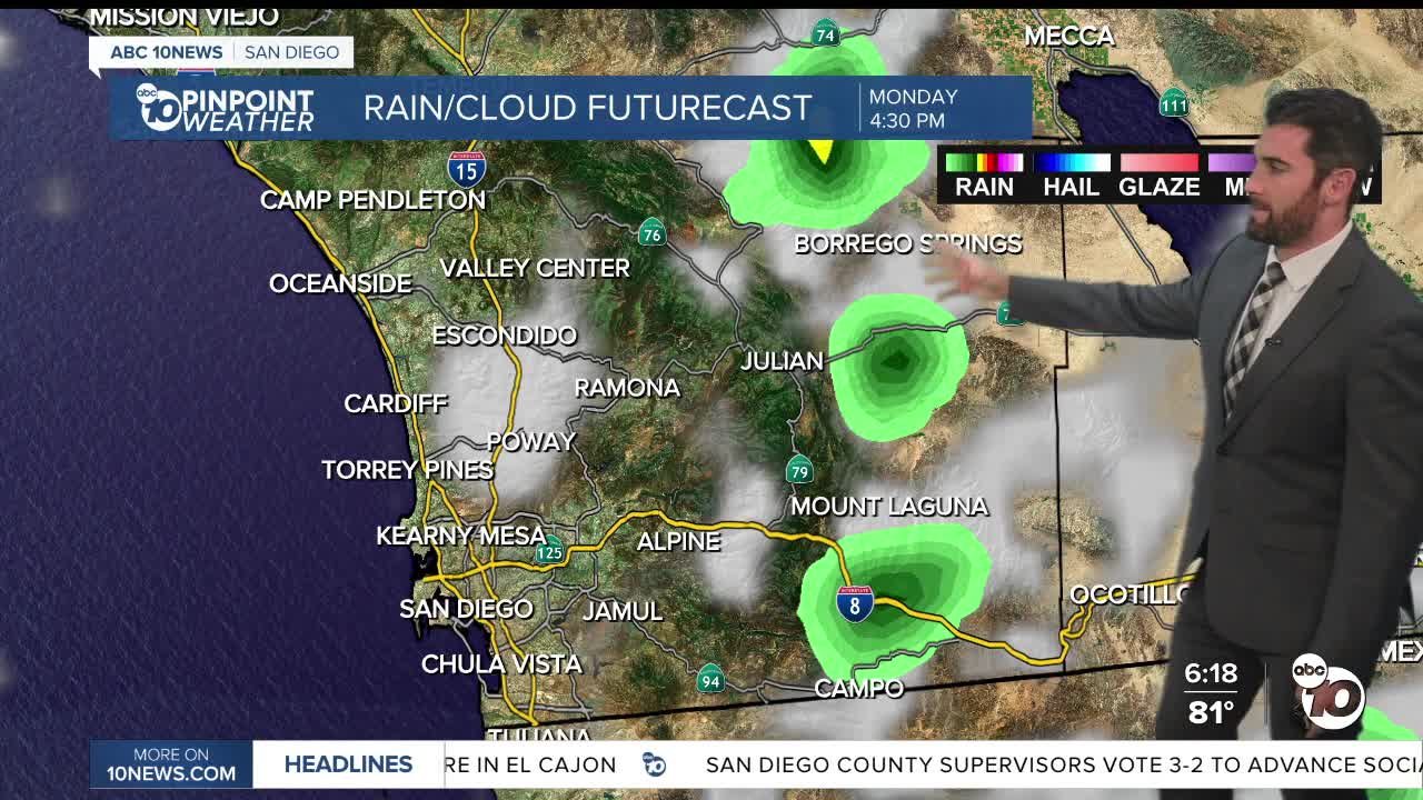
Pair that heat with humidity, and that's how you get the thunderstorms we saw for a brief period in portions of the mountains and deserts Sunday, bringing a Flood Advisory with it in the early evening.
Ironically enough, our daytime highs actually take a slight dip on Monday, but only by a couple degrees and still remain above average.
Much of the coast will be scattered in the 80s, with the inland neighborhoods in the 90s.
The inland valleys and mountains will stay in a Heat Advisory for Monday before the Extreme Heat alerts take effect Tuesday.
Extreme Heat Watch: Coast, Inland & Mountains from 10 a.m. Tuesday through 8 p.m. Friday
Extreme Heat Warning: Deserts from now through 8 p.m. Friday
Temperatures will peak Thursday around 5-15 degrees above normal. Some records could be tied or set as well in Ramona (103) and Palomar Mountain.
The mountain and desert late afternoon thunderstorm chances return Monday, and should be more isolated in the mountains Tuesday and Thursday.
The coast will also see Elevated Surf and Coastal Flooding Wednesday and Thursday.
Let's have some fun!
Monday's Highs:
Coast: 78-90°
Inland: 90-97°
Mountains: 86-98°
Deserts: 104-109°
Follow ABC 10News Weather Anchor Max Goldwasser on Instagram, Facebook and Twitter.
