

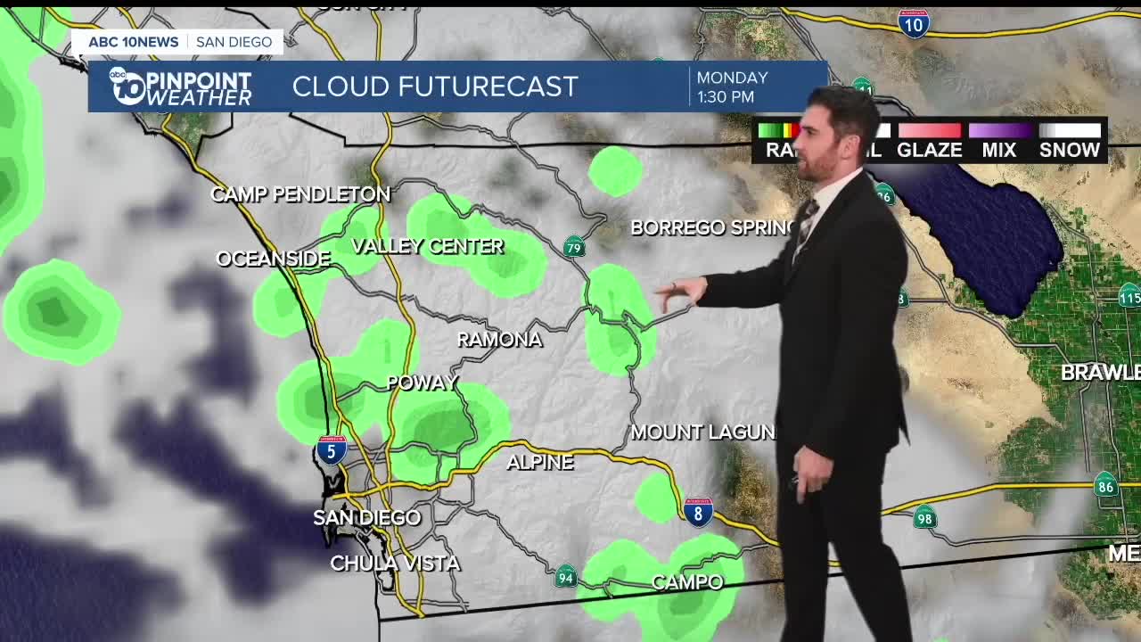


Sunday will be a sunny one in San Diego County, but get ready for some weather whiplash in the week ahead.
Before we get to Sunday, there are still some slight chances for showers lingering in the area Saturday night.
Here is a look at some notable rainfall totals from the last 48 hours as of early Saturday morning:
San Diego International Airport: 0.82"
La Mesa: 0.74"
Santee: 0.68"
Carlsbad: 0.63"
Mt. Laguna: 0.58"
Chula Vista: 0.44"
Saturday night will be chilly, with temperatures on the coast and inland valleys bottoming out in the 50s, and dropping into the 40s in the mountains and deserts.
Sunday will be sunny with temperatures right at or slightly below average.
A High Surf Advisory expires at 10 a.m. That comes with a high rip current risk, waves of 6-8' with sets up to 10' and a high tide of 4.4' at 11:35 a.m.
More chances for showers return to the forecast late Monday morning and early afternoon, mainly for the coast and valleys. Those showers could continue into Tuesday, and may hit the mountains then.
By Thursday, rain will be likely again, and temperatures will be about 5-10 degrees below average across the board.
Rain chances should stick around into Friday but clear up by Saturday.
Sunday's Highs:
Coast: 70-74°
Inland: 67-73°
Mountains: 54-66°
Deserts: 71-77°
Follow ABC 10News Weather Anchor Max Goldwasser on Instagram, Facebook and Twitter.
