

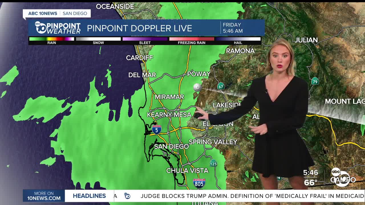


Happy Friday San Diego!
We're waking up to cloudy skies and a few light showers across parts of the county. We could see a few more scattered showers throughout the day, but rainfall should stay pretty light, with most areas picking up very little. Skies may even start to clear a bit this afternoon.
Highs will stay in the upper 60s to low 70s along the coast and inland, with 50s and 60s in the mountains and low 80s in the deserts, a little bit cooler than yesterday.
But the bigger weather story is still ahead of us. A stronger storm is moving into Southern California just in time for Halloween. We could see a few showers Saturday, but rain chances really pick up Saturday evening and overnight into Sunday morning. That's when we're expecting the heaviest rain, and a few thunderstorms are possible, too.
So if you're heading out trick-or-treating Saturday, you may want to bring an umbrella. Some rain could move in during the evening, although the heaviest downpours are expected later overnight.
By Sunday morning, rain could be heavy at times, with localized flooding possible. We're looking at rainfall totals around 0.70 to 1.25 inches along the coast and in the valleys, with 1 to 2 inches possible in the mountains. The deserts should see less, generally under half an inch.
We'll also see gusty winds overnight Saturday into Sunday, with gusts between 20 and 30 mph along the coast and inland, and potentially 30 to 50 mph in the mountains and deserts.
Showers should gradually taper off Sunday afternoon, and we'll dry out heading into Monday.
So, Halloween plans aren't necessarily a washout, but keep that umbrella handy. The timing of this storm will be important, especially if you're planning to be out Saturday night!
Today's Highs:
Coast: 67-71°
Inland: 65-73°
Mountains: 53-64°
Deserts: 80-82°
Have a lovely end to the work week!
Follow ABC 10News Reporter Olivia González-Britt on Facebook, Instagram, and X.
