



Happy Friday!
San Diego is getting a taste of summer this weekend, with temperatures climbing into the 80s across much of the county, even along the coast.
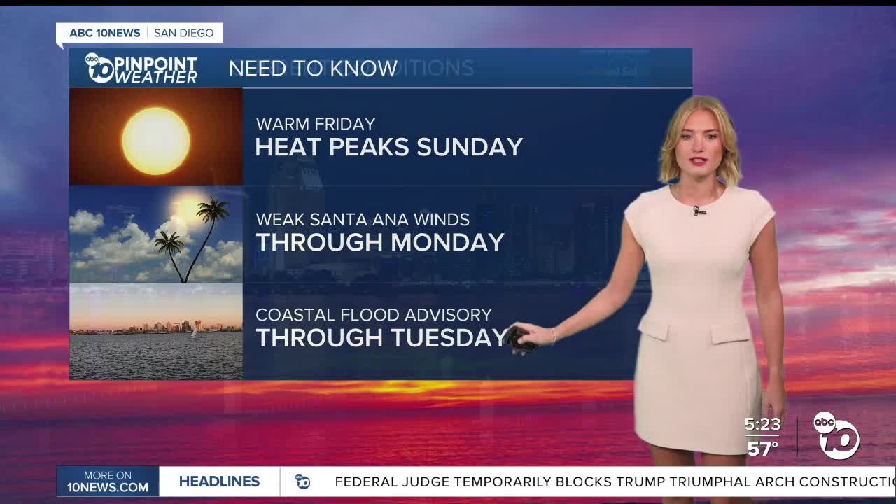
High pressure building over the region, along with weak Santa Ana winds, will bring warmer and drier conditions starting today and lasting into early next week.
Sunday is expected to be the warmest day, with temperatures running 5 to 15 degrees above average along the coast and in the valleys.
Expect highs in the 80s across the coast, inland communities and deserts this weekend, while mountain communities stay in the 60s. Temperatures will cool slightly early next week, returning closer to seasonal averages by Thursday.
The warming trend will also bring lower humidity, with levels dropping to between 15% and 25%. Weak Santa Ana winds will mainly affect inland and mountain communities, with easterly and northeasterly gusts of 15 to 35 mph. Some wind-prone areas could see stronger gusts.
Recent rainfall should help keep fire danger in check despite the drier conditions. Coastal flooding possible through Tuesday, there is a Coastal flood advisory in place until then. While the weather may feel more like summer, people heading to the coast should keep an eye on the tides.
Waves of 3 to 5 feet, combined with high tides ranging from 7 to 7.6 feet, could lead to minor coastal flooding. The highest tides are expected Sunday and Monday, reaching between 7.4 and 7.6 feet.
Looking ahead, San Diego County could see its next chance of rain toward the end of next week. There may also be several opportunities for rain through the end of November.
For now, enjoy the sunshine and warmer temperatures, but be mindful of the high tides if you're planning a trip to the beach!
Today's Highs:
Coast: 76-83°
Inland: 78-86°
Mountains: 60-75°
Deserts: 83-85°
Follow ABC 10News Reporter Olivia González-Britt on Facebook, Instagram, and X.
