

Just one more day of dry conditions before rain is back in our forecast, and once it arrives, the chances stick with us well into next week.
Much of Thursday will be partly cloudy, with temperatures on the coast and in the valleys a couple degrees below average, while the mountains and deserts are still about 5-10 degrees above normal.
The mountains and deserts will see breezier conditions in the afternoon, with winds clocking in between 20-35 mph and some gusts stronger than 40 mph in the deserts.
Thursday evening is when we have a chance to see some showers, but the real rain doesn't arrive until Friday.
The system will arrive first in the northwestern part of the county in the early morning before it spreads southeast across the region.e
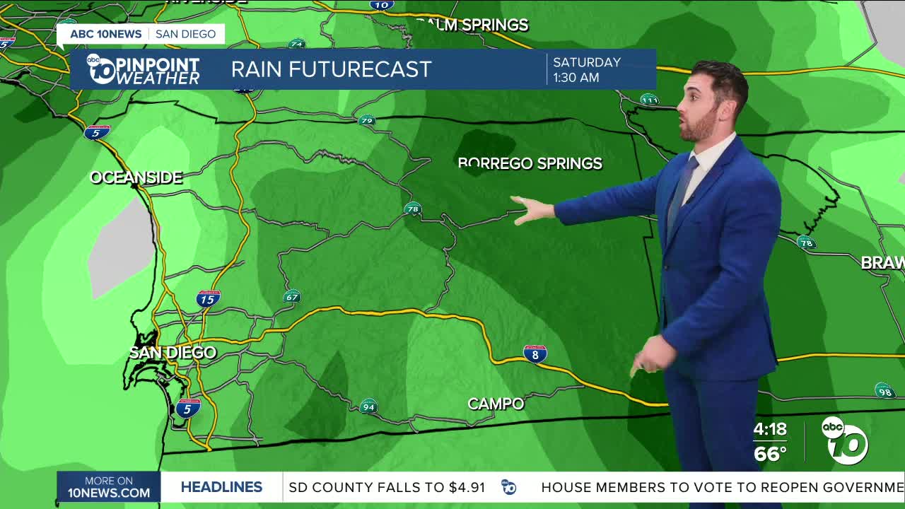
Heavy rainfall will continue overnight Friday into Saturday, with the possibility of seeing thunderstorms as well.
Rain remains likely through Sunday, before the chances gradually start to fade. Still, we are forecasting at least a chance of showers through Wednesday of next week.
Totals from start to finish for this system could be between 2-3" in and west of the mountains, with the highest amounts coming to Oceanside. Meantime, the deserts could finish with around 1" of rain.
Also in that window, temperatures will continue to fall.
Pretty crazy we started this week setting daytime high records in some spots like Ramona and Borrego. Those temperatures will fall by about 10-30 degrees when you compare Monday to Sunday, and there's no rebound in sight.
Thursday's Highs:
Coast: 67-72°
Inland: 71-78°
Mountains: 60-72°
Deserts: 81-86°
Follow ABC 10News Weather Anchor Max Goldwasser on Instagram, Facebook and Twitter.
