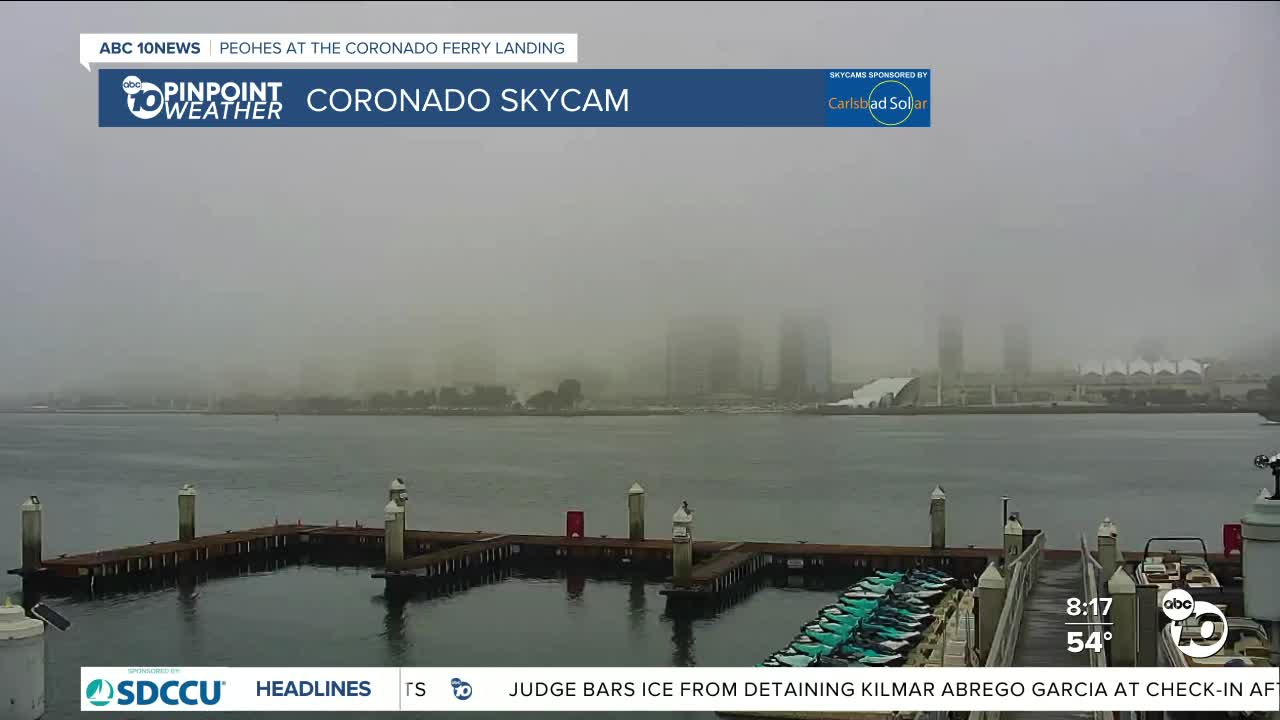


SAN DIEGO (KGTV) — A Dense Fog Advisory is in effect until 10 a.m. Saturday, before dissipates and returns later in the evening hours.
Daily record highs were set in Campo at 85 degrees and Borrego Springs not only tied their record high for the day at 83 degrees but also tied their highest minimum temperatures of 55 degrees.
While it was significantly cooler along the coast today with temperatures mostly in the 60s, which is near to even slightly below average, the rest of the county was still 10 to 20 degrees above normal. Little change for the mountains and deserts through the weekend, where record highs will continue to be within reach in Campo and Borrego Springs.
Minor cooling for the inland areas this weekend while the cool weather will last through Sunday near the coast and fog will be a concern each night and morning.
This weekend you can expect highs in the 60s at the immediate coast, which is near to even slightly below average, while inland areas will mostly be in the 70s which is 10 to 15 degrees above average, mid-60s to low-70s in the mountains, which is 15 to 20 degrees above normal and low to mid-80s in the desert is 10 to 15 degrees above average.
Clouds will stream in from the south on Saturday, leading to partly to even mostly cloudy skies.
Mild Santa Ana winds return Monday, bumping up temperatures and wind while dropping humidity. We'll see 70s and a few 60s along the coast into next week, with 70s and 80s inland, 60s and a few 70s in the mountains and 70s and 80s in the deserts. Record highs will once again be within reach early next week.
Warmer weather will be the trend most of next week, with Monday and Tuesday the warmest days.
Saturday's Highs:
- Coast: 60-73°
- Inland: 69-79°
- Mountains: 64-81°
- Deserts: 82-84°
