

SAN DIEGO (KGTV) — Gradual warming and dry weather through the end of the week with highs increasing to as much as 10 to 20 degrees above normal. High clouds and weak offshore flow expected through Tuesday, then weak onshore flow returns with increasing chances for marine low clouds later in the week.
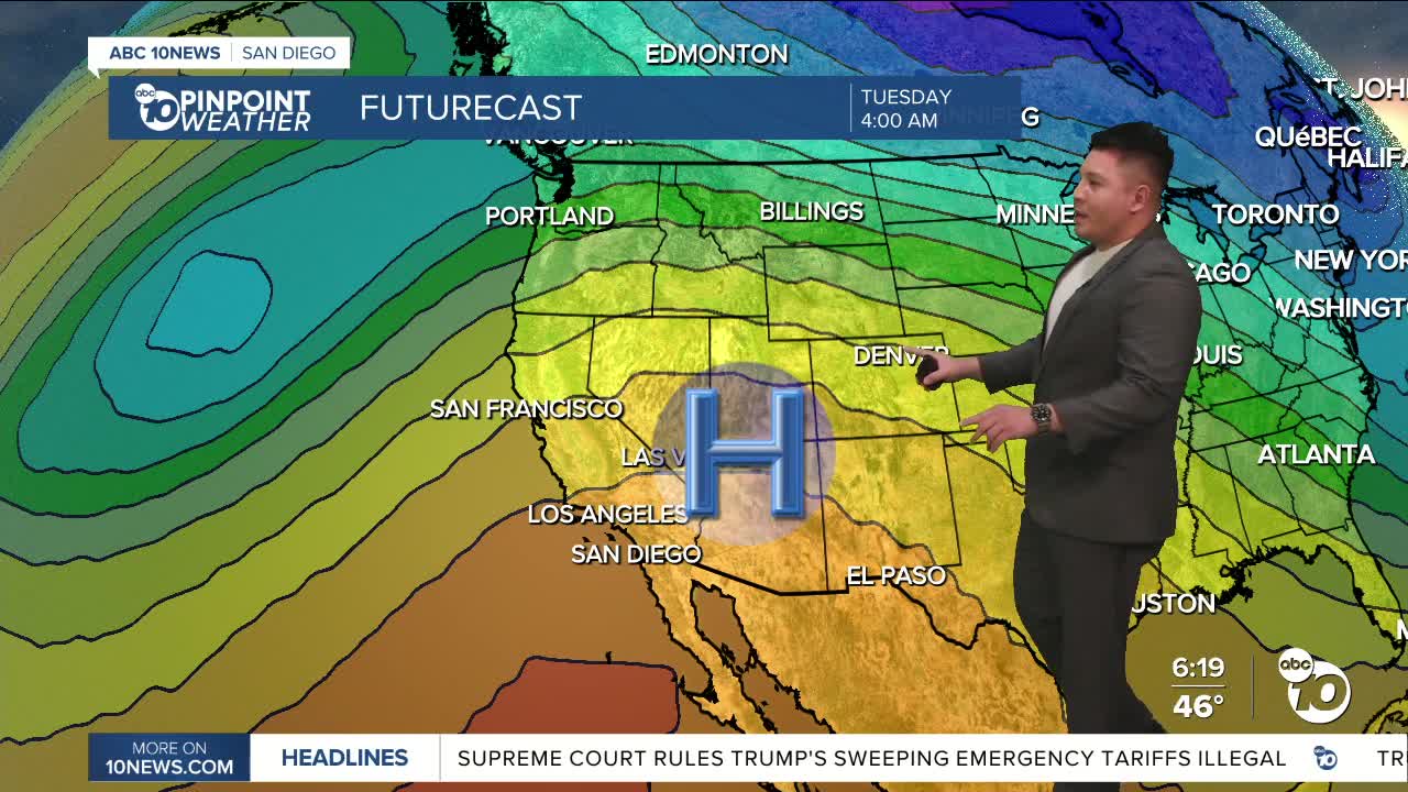
A blocking high pressure ridge will slowly build throughout this upcoming week just west of Baja California, bringing warm and quiet weather to the region. High temperatures today are expected to reach into the mid-70s for inland areas and right around 70 degrees at the coast.
Highs will be most noticeably milder in the mountains as temperatures climb from the 40s and lower 50s yesterday to the 50s and lower 60s this afternoon. Highs bump up around 5 degrees region-wide Monday and plateau around the low-70s to low-80s throughout the coastal basin through Wednesday, with about a 50/50 chance for highs above 80 degrees for inland areas each of these days.
Meanwhile, high temperatures in the lower deserts continue to surge into midweek from the upper 70s today to likely (70-90%) reaching 90 degrees and above by Wednesday.
Sunday's Highs:
Coast: 66-69°
Inland: 68-78°
Mountains: 56-71°
Deserts: 77-78°
For the latest news, weather and traffic updates, follow Gabe Salazar on Facebook and Instagram.
