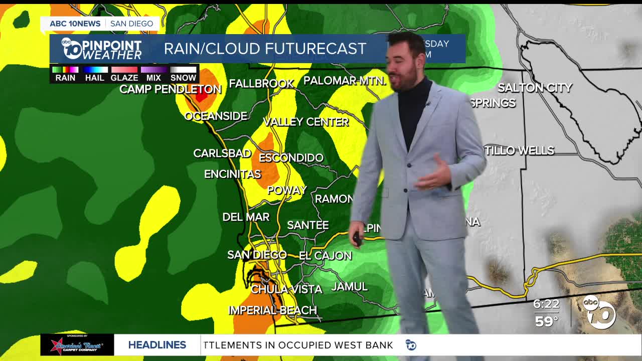


Happy Tuesday! We are just a few days away from Christmas. Today is unfortunately the last day before an atmospheric river is expected to hit San Diego and Southern California. A flood watch is in effect from Wednesday at 4 AM to Thursday at 1 AM. The National Weather Service is forecasting about a half inch to an inch of rain an hour.
Breezy conditions pick up Tuesday afternoon, and the Wind Advisory will be in effect for spots west of the mountains from 3 a.m. to 10 p.m. on Wednesday.
Gusts could get around 30 to 40 m.p.h. for coastal and inland valleys, with potential to reach 60 m.p.h. in the mountains.
The mountain areas and parts of North County are expected to get 2-3 inches of rain by Wednesday night. The storm will move into Christmas Day, putting a damper on those holiday plans. The storm is expected to stick around until Friday. The weekend is looking much drier with partly cloudy skies.
Be sure to look out for your flights for any potential delays because of the weather. If you are driving, today is the best day to leave so you can avoid driving in this rain.
Tuesday's Highs:
Coast: 64-67°
Inland: 65-69°
Mountains: 55-61°
Deserts: 67-72°
