

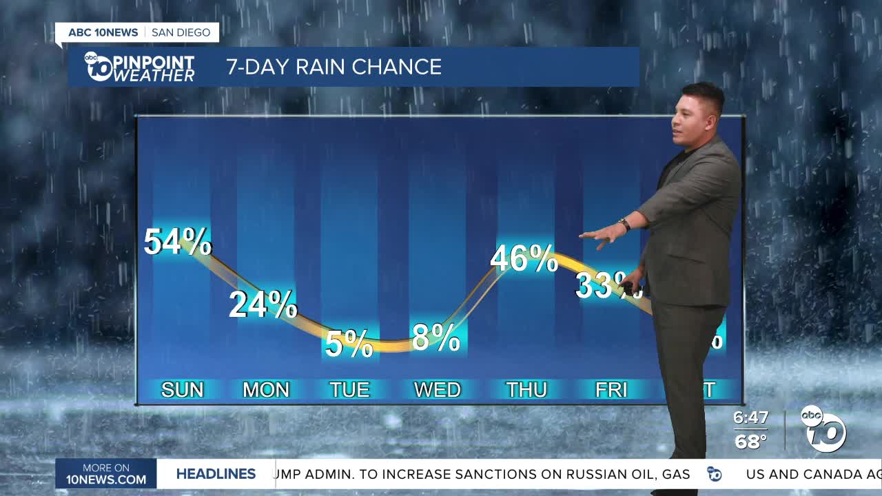


Monsoon moisture is making a return to Southern California, bringing increasing humidity, a chance for thunderstorms, and another round of hot weather to San Diego County over the next several days.
After a stretch of triple-digit temperatures inland, this weekend offers a brief break from the heat with temperatures returning closer to seasonal averages. However, residents will notice a much more humid atmosphere as tropical moisture continues to move into the region.
Patchy low clouds will continue to develop along the coast each morning before giving way to a mix of sunshine and high clouds during the afternoon. While most of the county will remain dry Sunday, there is a slight chance of an isolated thunderstorm over the mountains.
The greatest opportunity for thunderstorms arrives Monday afternoon and evening.
Forecasters say the mountains and deserts have a 35 to 60 percent chance of seeing thunderstorms capable of producing heavy rain, frequent lightning, gusty and erratic winds, and small hail. While confidence remains low that storms will move west of the mountains, there is a small chance that isolated showers could drift into nearby valleys and desert communities.
Storm chances decrease slightly Tuesday as some of the tropical moisture shifts east, but isolated afternoon thunderstorms will still be possible across the northern mountains and deserts. Forecast models indicate another surge of monsoon moisture later in the week, which could increase thunderstorm chances once again.
Along with the humidity comes another surge of heat.
Temperatures will begin climbing Tuesday, with the hottest weather expected from Tuesday through Thursday. Inland valleys east of Interstate 15 are forecast to reach well into the 90s, while parts of the Inland Empire could climb to 100 to 105 degrees. Warmer overnight temperatures and elevated humidity will increase the HeatRisk, especially for those spending extended time outdoors.
Beachgoers should also be aware of changing coastal conditions.
A Beach Hazards Statement remains in effect through Tuesday evening as evening high tides exceed 7 feet. Minor coastal flooding is possible in low-lying beach parking lots, boardwalks, and other vulnerable areas during high tide. Strong rip currents and elevated surf of 3 to 5 feet will also create hazardous swimming conditions.
While the start of the week brings the possibility of thunderstorms in the mountains, residents across the county should prepare for a much hotter and more humid weather pattern that could linger through much of the upcoming week.
Sunday's forecast highs:
- Coast: 71–76°
- Inland valleys: 76–89°
- Mountains: 87–95°
- Deserts: 106–110°
