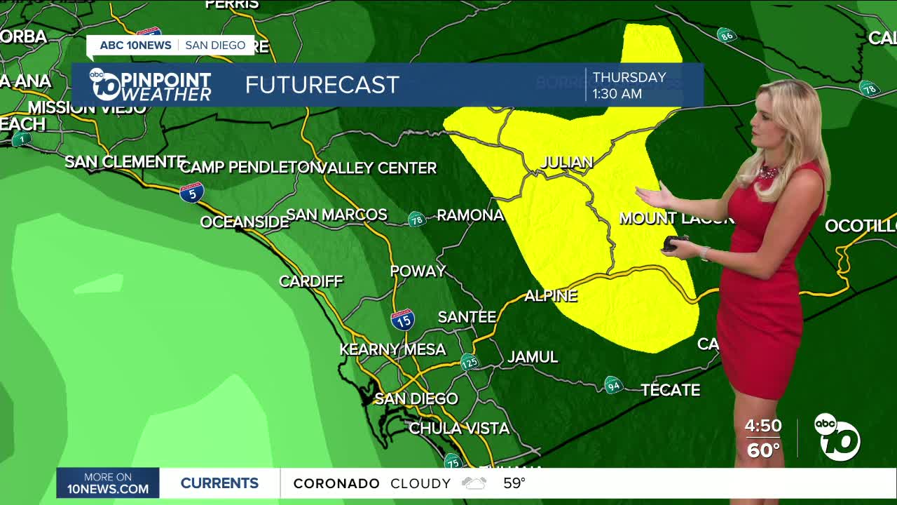
We’ve got a few more foggy starts in the forecast before a big change in our weather pattern.
The fog we are expecting tonight will be even more widespread, continuing into tomorrow morning.
We have already seen plenty of flights get delayed at the San Diego International Airport.
You can check delays by clicking here.
Expect a similar pattern Saturday night into Sunday morning, and be sure to double check your flights!
Travel could definitely be impacted over the next few days, either by the fog this weekend or by the rain next week!
We are seeing a cooling trend going into the holiday.
Saturday, expect highs to be in the mid to upper 60s along our coastline.
Inland spots will reach highs near the mid 70s again.
Our mountains will top out in the upper 60s, while our deserts could see highs reaching into the low 80s.
We will be kicking off winter on Sunday!
The solstice will happen around 7:03am.
After that, Santa will be bringing California a lot of rain for Christmas.
An atmospheric river will be moving across the Golden state, bringing us rain chances as soon as Tuesday. Expect higher chances of widespread rain to really kick into gear Christmas Eve into Christams Day. Chances look to linger throughout Friday as well.
Stick with your Pinpoint weather team and we’ll get you through the storm!
Saturday's Highs:
Coast: 63-67°
Inland: 71-76°
Mountains: 66-74°
Deserts: 76-81°
Follow ABC 10News Weather Anchor Ava Kershner on Instagram, Facebook, and X.


