

We woke up to some beautiful sunrises this morning, for nearly everyone not along our coastline.
There is extremely low visibility for our coastal spots, with many spots under a mile.
A Dense Fog Advisory took over our beaches this morning and was set to expire at 9 a.m.
But mostly sunny skies should prevail across the county today, along with above average temperatures.
Our coastline is reaching highs in the mid 70s to the upper 60s.
Inland communities will be topping out in the mid 80s.
Our mountains will see highs in the mid 70s, with our deserts in the upper 80s.
We can also expect some breezy afternoons for our inland and mountain spots today and tomorrow- gusts could be reaching 35 m.p.h.
Temperatures are set to rise even more on Monday, when we could even break some records.
We’ll keep an eye on the heat in spots like Ramona, Borrego Springs, and Palomar Mountain.
The warm-up won’t last long however.
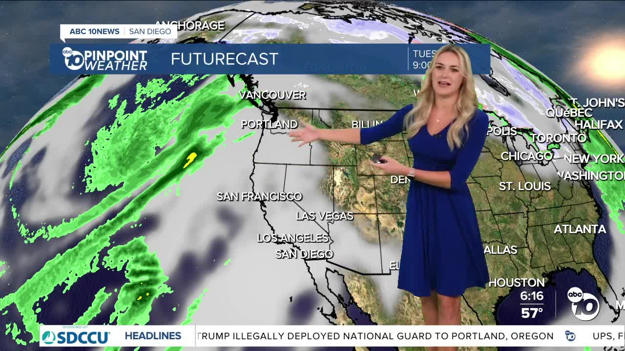
By Veteran’s Day, we begin the cooldown, as the two systems off the coast of California combine forces.
This will cool us down significantly, with potential highs being in the 60s for our coast and inland, and potentially 50s for our mountains.
And of course, this system is bringing rain chances into our forecast as early as Thursday.
Sunday's Highs:
Coast: 69-74°
Inland: 82-87°
Mountains: 72-81°
Deserts: 86-89°
Follow ABC 10News Weather Anchor Ava Kershner on Instagram, Facebook, and X.
