

We welcomed widespread rainfall into San Diego County yesterday!
We set a record for rainfall at the San Diego International Airport on Saturday, with 1.20”.
Other records were set in Oceanside with just over 2” of rain, Ramona at just under an inch, and Kearny Mesa at 0.81”.
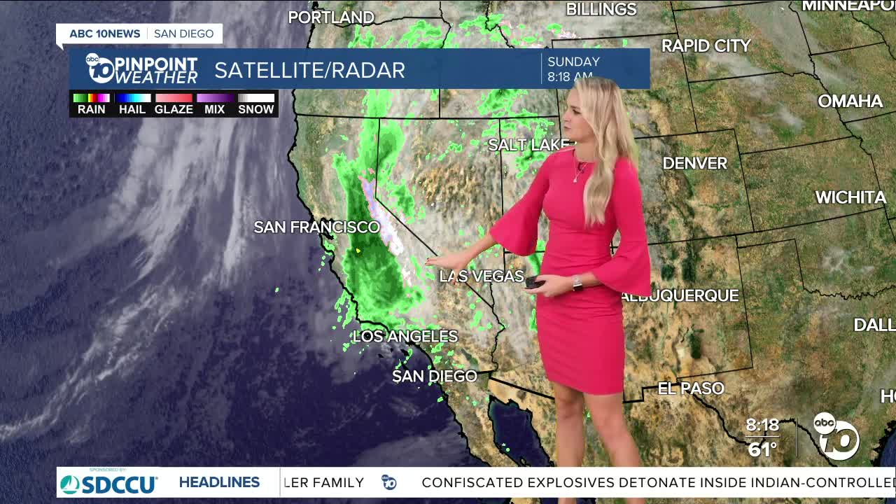
We will continue to see chances linger for your Sunday, before we track another system moving toward us on Monday.
We will see some isolated showers today, with a mix of some of that San Diego sunshine.
We will continue to see increased wind gusts, close to 30 m.p.h in our mountains and deserts.
The next round of rain will pick up on Monday, as a second cold storm moves into California. We will see showers build Monday morning into the afternoon, with some showers lingering through Tuesday.
Wind speeds will pick up from 25 m.p.h. to 50 m.p.h. in the mountains and deserts, while the coast and valleys should see gusts less than 30 m.p.h.
This next storm looks to bring the coast and valleys about .50” to 2.00” of rainfall, with lessening totals east of the valleys.
North county seems to be the most prone to high totals!
We get a bit of a break from the rain on Wednesday, before a potential third system could impact us.
As we get closer, we will be able to get more accurate timing and totals so stick with your 10News Weather team through system #3! It looks to impact us Thursday through Saturday.
Temperatures will continue to be 5° to 10° below normal for this time of year, with Tuesday expected to be the coolest day.
Sunday's Highs:
Coast: 63-66°
Inland: 63-67°
Mountains: 48-56°
Deserts: 68-73°
Follow ABC 10News Weather Anchor Ava Kershner on Instagram, Facebook, and X.
