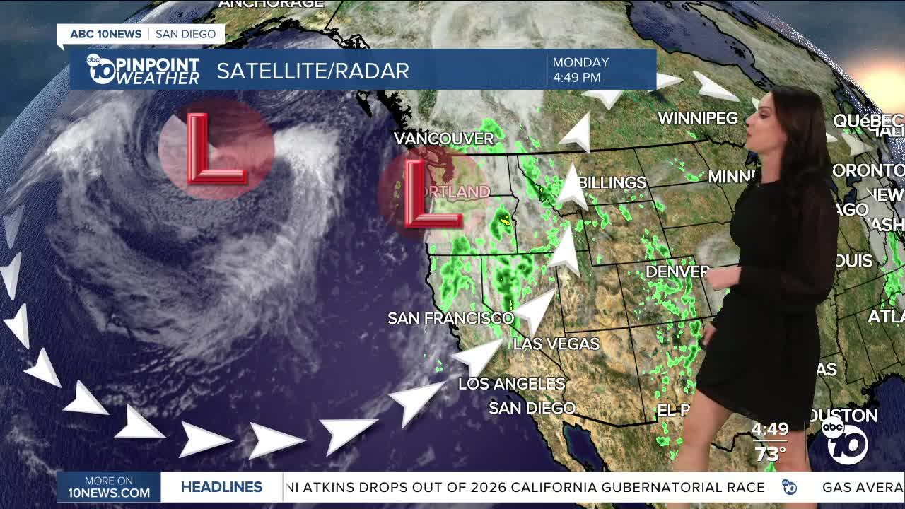


The marine layer will thicken tonight into Tuesday morning, bringing a chance of sprinkles to patchy drizzle. Gradual clearing to sunny skies, but some coastal areas may only get partial clearing by the afternoon. A shallower marine layer for the rest of the workweek will clear out faster to sunny skies.
If headed to the beaches, be prepared for big waves and strong rip currents for one more day. A Beach Hazards Statement remains in effect until 11pm Tuesday for waves of 3 to 8 feet and dangerous rip currents.
Temperatures will trend near to 7 degrees below average on Tuesday, with slight warming into Thursday. You can expect 70s and 80s for most of the county and 90s in the deserts this week.
Slight cooling this weekend with greater cooling next week as a pair of storms pass by well to the north of San Diego. At this point, the chance of any rain is minimal, but if these storms dig farther south, we may be able to get a little rain. Expect a deeper marine layer this weekend into early next week with slower clearing and potentially marine layer drizzle.
Tuesday's Highs:
Coast: 68-75°
Inland: 75-80°
Mountains: 67-80°
Deserts: 93-95°
Follow ABC 10News Meteorologist Megan Parry on Facebook at Megan Parry 10News, Instagram @mis_meg_wx and Twitter @10NewsParry.
