

It was cooler today with stubborn clouds lingering at most beaches, while gusty winds targeted the mountains and deserts which will continue into tonight. Tomorrow will be the coolest and cloudiest day of the week with highs 3 to 10 degrees below average.
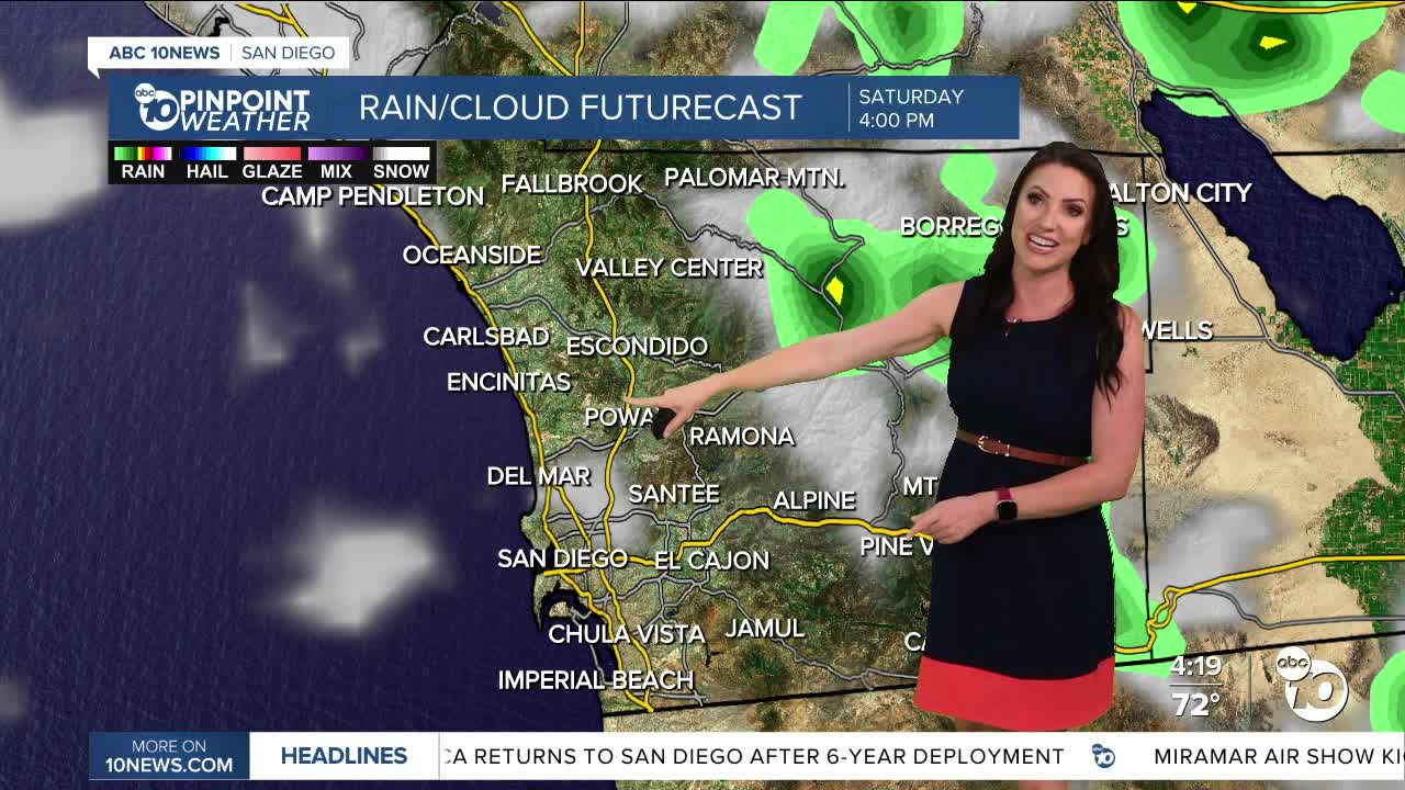
The cut-off low I've been tracking all week is slowly moving south and will act to deepen the marine layer Friday, producing mist to patchy light rain. The mountains and deserts will have a slight chance of showers and thunderstorms as early as Friday afternoon, while Saturday will be the best chance of storms anywhere in the county, though peak activity will be over the mountains and deserts. Showers may linger in the mountains and deserts through Sunday.
Any storms that form Saturday may produce heavy rain, gusty winds, lightning and localized flooding. Mountain communities should be weather-aware this weekend, especially on Saturday when there is a 'Marginal' threat of Excessive Rainfall.
This weekend you can expect 70s for most of the county, 60s in the mountains and 80s and 90s in the deserts.
Gradual warming into early next week, though temperatures will remain near to below normal, feeling more fall-like as we welcome October. Next week you can expect 70s at the coast and in the mountains, 80s inland and 90s in the deserts.
Friday's Highs:
Coast: 67-74°
Inland: 72-77°
Mountains: 65-76°
Deserts: 91-94°
Follow ABC 10News Meteorologist Megan Parry on Facebook at Megan Parry 10News, Instagram @mis_meg_wx and Twitter @10NewsParry.
