



It was a light show over the mountains Thursday, with isolated thunderstorms and warmer and muggier weather elsewhere in the county.
It will be warmer Friday, though not as humid, with low clouds and patchy fog for the morning commute for the coast and valleys, clearing to sunny skies by mid to late morning.
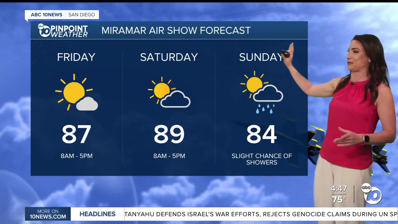
Gradual warming will continue through Friday and Saturday, which will be the warmest days of the week when we'll see 80s for most coastal areas, 90s inland, 80s in the mountains and low-100s in the deserts. These temperatures will be 3 to 10 degrees above average.
There are two tropical cyclones churning in the Pacific that will indirectly impact our weather into early next week. Clouds will spread across the county on Saturday, getting pulled in from Tropical Cyclone Odalys, making things more humid with a chance of showers on Sunday. The chance of showers continues into Monday as moisture from both Odalys and Hurricane Polo get pulled into the county as a storm passes to our north.
However, this depends on the track of Polo and Odalys, and where the jet stream to the north of us sets up, so stay with the Pinpoint Weather Team for updates.
Both storms will also bring increased swell to our beaches. Hurricane Odalys will bring elevated surf Friday through Sunday, while Hurricane Polo may bring another round of bigger waves into early next week. Astronomical high tides will coincide with those bigger waves early next week.
A Beach Hazards Statement is in effect from 5am Friday until 5pm Sunday for waves of 3 to 6 feet and dangerous rip currents. Tides of 6 to 6.5 feet coupled with the elevated surf may lead to beach erosion and coastal flooding. Next week, astronomical high tides due to the full moon of 6.7 to 7.0 feet are forecast and could lead to a greater threat of beach impacts so new advisories will likley get issued.
While Monday looks like the greatest day of concern, there is quite a bit of uncertainty due to the uncertainty of the track of Hurricane Polo and the intensity and timing of associated swell.
Temperatures will dip back near average on Monday before warming up again midweek next week.
Friday's Highs:
Coast: 75-86°
Inland: 85-93°
Mountains: 77-95°
Deserts: 101-105°
Follow ABC 10News Meteorologist Megan Parry on Facebook at Megan Parry 10News, Instagram @mis_meg_wx and Twitter @10NewsParry.
