

A bit cooler today with continued cooling the rest of the week and a deepening marine layer. Friday and Saturday will be the coolest days with highs 3 to 10 degrees below average.
This week's forecast is particularly interesting. The cut-off low we've been tracking all week is just off the coast of Northern California. This low-pressure system, aka a storm, is cut-off from the jet stream, which means it won't follow the main weather pattern; it's going to do whatever it wants, which makes for a tricky forecast.
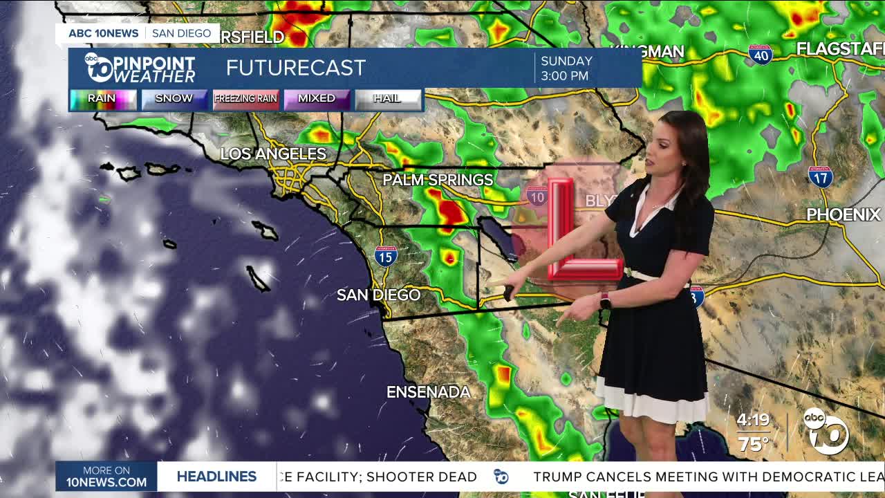
This storm will dive south for the end of the week, bringing cooler weather and thicker marine layer clouds and patchy fog starting tomorrow, with a chance of marine layer drizzle by Friday morning. The mountains will have a slight chance of showers and thunderstorms as early as Friday afternoon, and Saturday will be the best chance of storms anywhere in the county, though peak activity will be over the mountains and deserts. Showers may linger in the mountains and deserts through Sunday.
It will be breezy to gusty in the mountains and deserts Thursday and Friday as the storm approaches with westerly gusts of 20 to 45mph.
Temperatures will also cool as this storm moves south for the end of the week, with highs in the 70s nearly everywhere in the county on Friday and Saturday.
Gradual warming into early next week, returning to near average as the storm finally moves farther east. A Pacific storm may bring another chance of rain next week, but there remains quite a bit of uncertainty with the track of that storm, so stay with the Pinpoint Weather Team for updates.
Thursday's Highs:
Coast: 71-76°
Inland: 78-85°
Mountains: 70-85°
Deserts: 99-103°
Follow ABC 10News Meteorologist Megan Parry on Facebook at Megan Parry 10News, Instagram @mis_meg_wx and Twitter @10NewsParry.
