

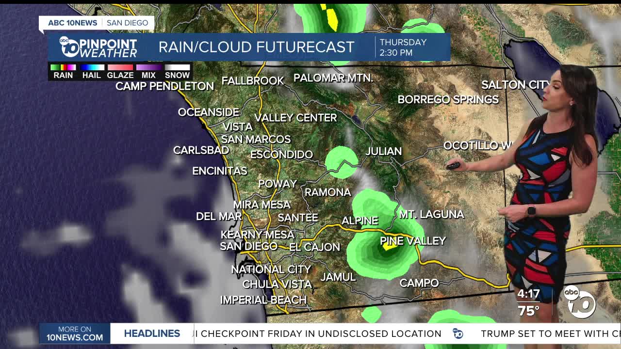


Warmer and muggier on Thursday as monsoon moisture surges into the county, bringing isolated showers and thunderstorms to the mountains and deserts and a slight chance for the inland valleys, along with an uptick in humidity across the county. Any storms that form may produce heavy rain, localized flooding, gusty winds, small hail and lightning.
The marine layer will spread inland into Thursday morning and may produce patchy fog for the commute. Gradual warming will continue through Friday and Saturday, which will be the warmest days of the week when we'll see 80s for most coastal areas, 90s inland, 80s in the mountains and low-100s in the deserts. These temperatures will be 3 to 10 degrees above average.
Hurricane Polo churning off the coast of Mexico will slowly move north and may bring beach erosion and coastal flooding Sunday through Tuesday due to larger swells coupled with astronomical high tides due to the full moon of 6.7 to 7.0 feet. While Monday looks like the greatest day of concern, there is quite a bit of uncertainty due to the uncertainty of the track of Hurricane Polo and the intensity and timing of associated swell.
Moisture from the tropics may get pulled into Southern California, bringing a chance of showers Sunday night through Tuesday, with Monday the best chance at this point. However, this depends on what happens with two tropical cyclones in the Pacific, Polo and Odalys, and where the jet stream to the north of us sets up, so stay with the Pinpoint Weather Team for updates.
Temperatures will dip back near average on Monday before warming up again midweek next week.
Thursday's Highs:
Coast: 76-85°
Inland: 84-93°
Mountains: 77-92°
Deserts: 100-105°
Follow ABC 10News Meteorologist Megan Parry on Facebook at Megan Parry 10News, Instagram @mis_meg_wx and Twitter @10NewsParry.
