



It's officially fall! The Autumnal Equinox happening at 5:05pm today. Despite the change of season, it will actually feel more like summer in the days ahead as things warm up.
Slight warming on Wednesday with continued warming through Friday and Saturday, which will be the warmest days of the week.
A shallower marine layer on Wednesday may produce patchy fog for the morning commute.
Monsoon moisture will briefly return on Thursday, bringing isolated showers and thunderstorms to the mountains and deserts and a slight chance for the inland valleys, along with an uptick in humidity across the county. Any storms that form may produce heavy rain, localized flooding, gusty winds, small hail and lightning.
Friday and Saturday we'll see 80s for most coastal areas, 90s inland, 80s in the mountains and low-100s in the deserts. These temperatures will be 3 to 10 degrees above average.
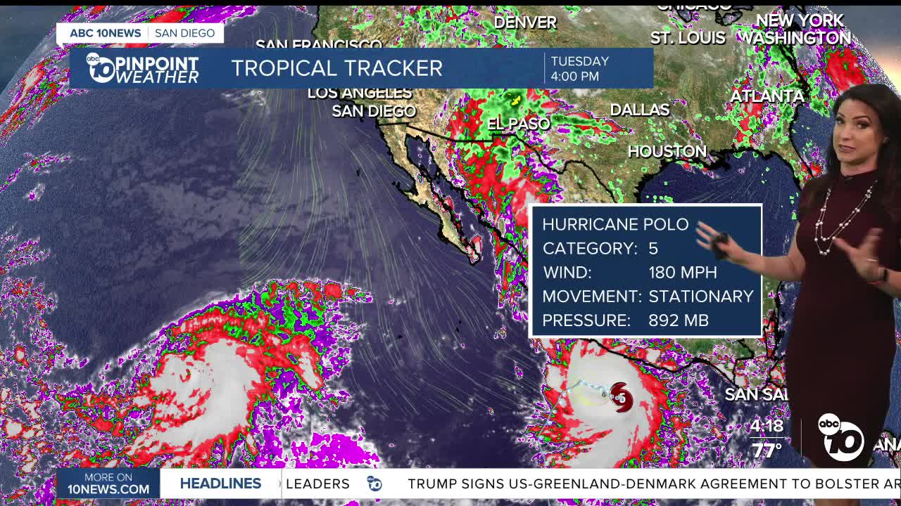
Hurricane Polo churning hundreds of miles south of Cabo will slowly move north and may potentially bring elevated surf and tides to local beaches. There is a chance of showers as moisture gets pulled north late Sunday into Monday. However, this all depends on where Polo tracks and where the jet stream to the north of us sets up, so stay with the Pinpoint Weather Team for updates.
Wednesday's Highs:
Coast: 75-85°
Inland: 84-92°
Mountains: 78-90°
Deserts: 99-102°
Follow ABC 10News Chief Meteorologist Megan Parry on Facebook at Megan Parry 10News, Instagram @mis_meg_wx and Twitter @10NewsParry.
