

Tuesday will be just as warm as Monday, with temperatures topping out pretty close to average for most of the county and up to 5 degrees warmer than normal in the valleys. A gradual cooling trend will take over the rest of the week with Friday and Saturday the coolest days of the week.
This week's forecast is an interesting one. There is a cut-off low over the Pacific that is going to linger near and over California all week. This low-pressure system, aka a storm, is cut-off from the jet stream, which means it won't follow the main weather pattern; it's going to do whatever it wants, which makes for a tricky forecast.
This is the same storm that pulled in tropical moisture, bringing rain across the county this weekend.
Click here to see rainfall totals where you live.
The storm will linger close enough and will be pulling in tropical moisture, which will continue a slight chance of a sprinkles or a stray shower into Tuesday, with the best chance near the mountains.
Then the storm moves north, bringing rain to Northern California. Then it dives south again, and depending on where it sets up, it could bring a chance of showers and thunderstorms this weekend. As of right now, Saturday looks to be the best chance, but it really depends on where this storm tracks.
Temperatures will also cool as the storm dives south for the end of the week, when highs will be in the 70s nearly everywhere in the county on Friday and Saturday, which is 3 to 10 degrees below average.
Gradual warming into early next week, returning to near average by Monday as the storm finally moves farther east.
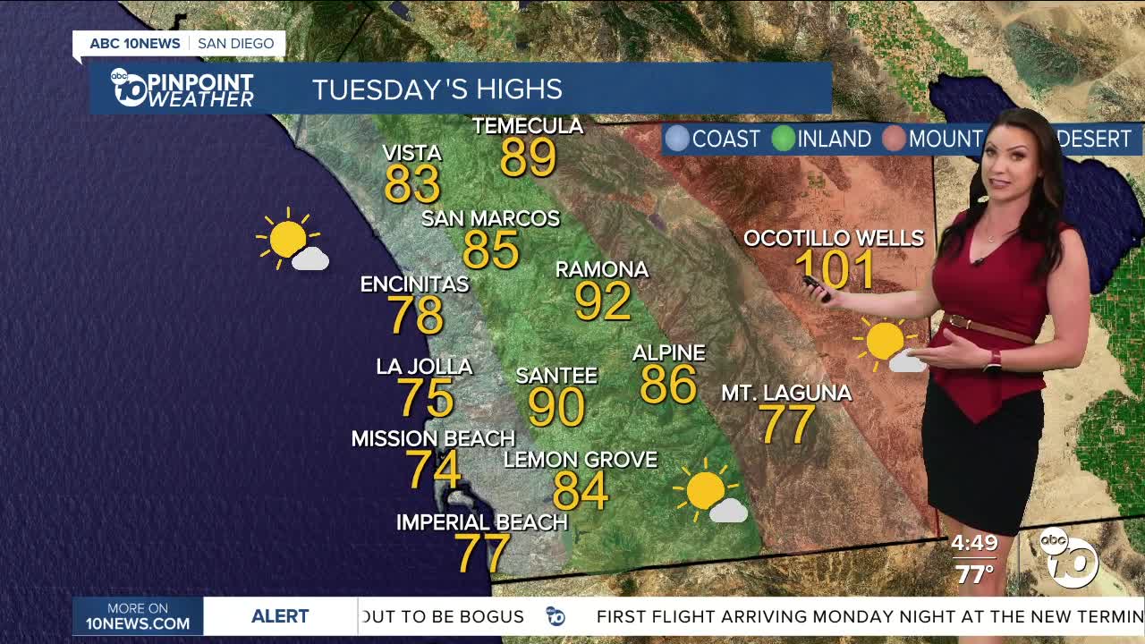
Tuesday's Highs:
Coast: 73-83°
Inland: 85-92°
Mountains: 77-92°
Deserts: 98-102°
Follow ABC 10News Meteorologist Megan Parry on Facebook at Megan Parry 10News, Instagram @mis_meg_wx and Twitter @10NewsParry.
