

It was a hot day with above-normal temperatures inland and in the mountains. Highs soared into the 90s for most inland areas and tomorrow will be even hotter.
Tuesday will be the hottest day of the week with temperatures topping out 4 to 8 degrees warmer than normal everywhere besides the desert. While it won't be as hot for the second half of the week, it will be more humid and will feel quite tropical across the county.
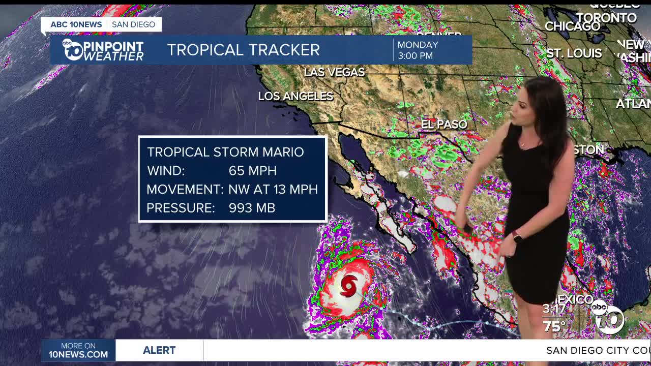
The chance of a few showers and thunderstorms over the mountains on Tuesday will be due to monsoon moisture. Monsoon moisture will be assisted by moisture from Tropical Cyclone Mario late Wednesday bringing a chance of showers and thunderstorms anywhere in the county with activity becoming scattered to potentially widespread in parts of the county.
Peak storm timing will be overnight Wednesday into Thursday with showers tapering off Thursday night. Isolated showers and thunderstorms will likely continue into Friday in the mountains and deserts, with a slight chance for the coast and valleys. A slight chance of storms may linger in the mountains and deserts Saturday with moisture tapering off Sunday into next week.
Any storms that form may produce brief heavy rain, small hail, lightning and the potential for localized flash flooding, especially in the mountains and deserts.
Stay with the Pinpoint Weather Team for updates on the timing and forecast totals of the incoming rain.
It will remain muggy through Saturday with more comfortable humidity levels by Monday.
Fall is right around the corner! The Autumnal Equinox happens at 11:19am on Monday, September 22nd.
Tuesday's Highs:
Coast: 76-88°
Inland: 90-97°
Mountains: 80-95°
Deserts: 101-105°
Follow ABC 10News Meteorologist Megan Parry on Facebook at Megan Parry 10News, Instagram @mis_meg_wx and Twitter @10NewsParry.
