



September started on a cooler and less humid note, and it will stay that way for a few days before hot and sticky weather returns this weekend.
A minor drop in temperatures through Thursday, with temperatures trending near to below average through Friday and more comfortable humidity levels. You can expect 70s and 80s for most of the county and low-100s in the deserts.
The coast and some valleys will have the marine layer return overnight and in the morning with patchy fog, clearing out to sunny skies during the morning.
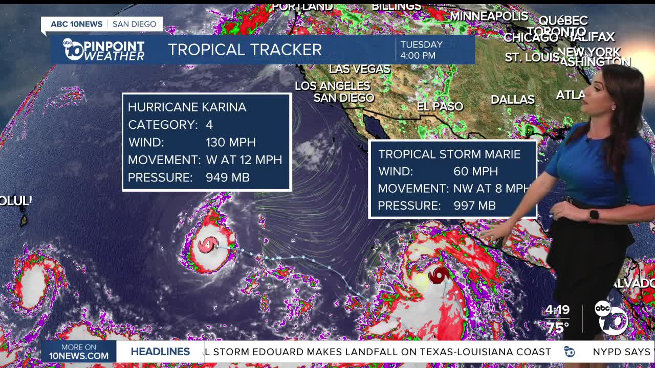
The tropics are active with three tropical cyclones churning in the Pacific. The one we are keeping an eye on is Tropical Storm Marie, which is expected to become a hurricane on Wednesday. While we aren't expecting the storm to reach San Diego, the humidity is, and we may even see a chance of rain and thunderstorms.
It will be warmer and more humid this weekend as moisture from tropical cyclone Marie reaches Southern California. Starting Saturday, there is a chance of rain and thunderstorms anywhere in the county and the chance may continue into early next week. That said, this all depends on the track of Marie, so there remains high uncertainty on the rain chance.
Stay with the Pinpoint Weather Team for updates on this tropical moisture and possible impacts into the weekend.
Temperatures by Sunday will warm back into the 80s for the coast and mountains and low-90s inland, while it may be a bit cooler but more humid in the deserts.
Wednesday's Highs:
Coast: 75-80°
Inland: 82-88°
Mountains: 75-89°
Deserts: 102-105°
Follow ABC 10News Meteorologist Megan Parry on Facebook at Megan Parry 10News, Instagram @mis_meg_wx and Twitter @10NewsParry.
