

The weekend is upon us- and that means the storm has made its way to Southern California!
Some of our mountain communities have already been waking up to heavier pockets of rainfall this morning.
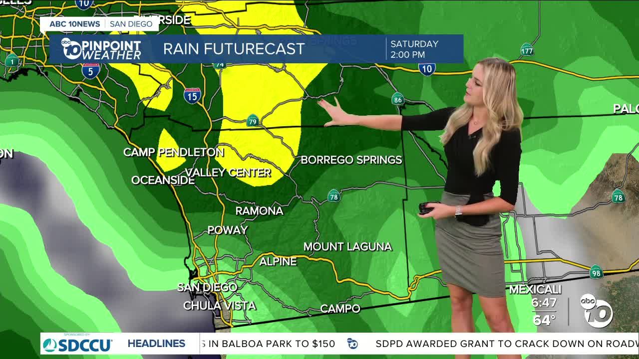
We will continue to see bands of heavier rain move across the county today, with chances for thunderstorms picking up as well.
Something to keep an eye on: Burn scars.
We have a Flood Watch stretching from the deserts to the coast that is in effect through this evening.
Areas that have burn scars are more prone to flash flooding and debris flows so be extra vigilant if you live near one!
And keep in mind our favorite saying here on the news whenever it rains, “Turn around, don’t drown!”
Be aware of low lying areas that overflow and don’t drive through floodwaters!
We will see the cold front move in today, with some post-frontal showers lasting through Sunday.
Another less-intense system moves in Monday/Tuesday and will continue our rain chances!
We also have a Beach Hazards Statement until 3 p.m. today, so watch out for rip currents and swells up to 8 feet!
Temperatures have moved below average, and don’t really seem to rebound by the end of next week.
Our coastline and inland valleys will both see highs in the mid 60s.
Mountain communities will see highs reach the upper 50s and low 60s.
Mountains and desert could see wind gusts reaching 35 m.p.h. today.
Our deserts will be in the upper 60s and low 70s today.
Make sure to be extra safe on those roadways, and enjoy the rain!
Saturday's Highs:
Coast: 63-69°
Inland: 63-68°
Mountains: 55-62°
Deserts: 69-73°
Follow ABC 10News Weather Anchor Ava Kershner on Instagram, Facebook, and X.
