

The marine layer will spread farther inland by Wednesday morning, with patchy fog that may slow the commute. Clouds will clear most areas by mid to late morning with slower clearing for some coastal communities. Temperatures will top out near average by the afternoon, and it will be another pleasant fall day before changes roll in.
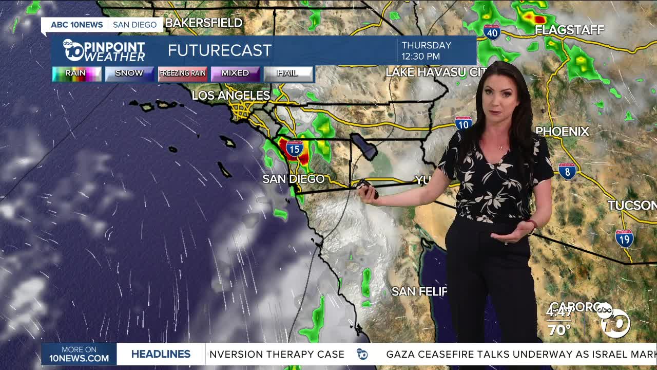
The end of the week becomes a little more interesting as moisture from Hurricane Priscilla, churning south of Cabo San Lucas, is pulled into Southern California with the help of a trough of low pressure that dives down from the Gulf of Alaska. This will bring a chance of showers and thunderstorms Thursday and Friday anywhere in the county. A slight chance of showers and thunderstorms may linger into Saturday morning, potentially extending into the afternoon in the mountains.
Preliminary rainfall totals will range between .10 to 1.00" with locally higher amounts possible if and where thunderstorms develop.
There remains quite a bit of uncertainty on timing and totals as the track of the hurricane will determine how much rain we get and the likelihood of thunderstorms. Either way, the mountains will likely see the brunt of the storm with the highest totals and best chance of thunderstorms. Stay with the Pinpoint Weather Team as we track this tropical moisture.
Temperatures will remain near average through Friday, though it will be quite humid Thursday through Saturday. It cools off this weekend, and it will be less humid starting Sunday with below-average temperatures on tap into next week, with mostly 60s and 70s while the deserts will cool to the 80s.
Wednesday's Highs:
Coast: 7570-°
Inland: 75-82°
Mountains: 73-87°
Deserts: 93-97°
Follow ABC 10News Meteorologist Megan Parry on Facebook at Megan Parry 10News, Instagram @mis_meg_wx and Twitter @10NewsParry.
