

It was a cooler, breezy day across the county, and we saw a little bit of rain, with a few spots picking up a few hundredths of an inch since last night.
Peak wind gusts exceeded 20mph along the coast, while the mountains and deserts saw a few gusts over 40mph. A Wind Advisory remains in effect in the deserts until midnight.
The storm that was stalled offshore since last week finally passed by to the north, bringing these cooler and gusty conditions. Temperatures today were 10 to 15 degrees cooler than Tuesday.
The marine layer will produce patchy fog overnight into Thursday morning for inland neighborhoods. A shallower marine layer will be confined to the coast Friday morning with areas of fog there. Clouds will clear by mid to late morning, and it will be warmer through Saturday, with Friday the warmest day.
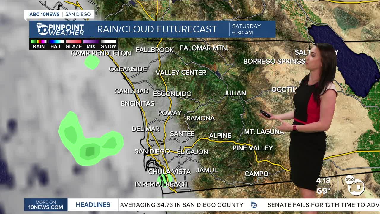
The marine layer deepens Friday night into Saturday morning and even more so into Sunday morning as a storm passes by to the north. It will be cooler by Sunday and we may see patchy drizzle in the morning.
This weekend you can expect mostly low to mid-70s at the coast, mid-70s to low-80s inland, 70s and 60s in the mountains, and upper-80s to low-90s in the desert.
Gusty winds will target the mountains and deserts Sunday into Monday as the storm passes by.
Warming up quickly next week with above normal temperatures by Tuesday, when we'll see mid-70s at the coast, mid-80s inland, low-70s in the mountains, and near 90 in the deserts.
Thursday's Highs:
Coast: 68-75°
Inland: 74-78°
Mountains: 64-76°
Deserts: 86-89°
Follow ABC 10News Meteorologist Megan Parry on Facebook at Megan Parry 10News, Instagram @mis_meg_wx and Twitter @10NewsParry.
