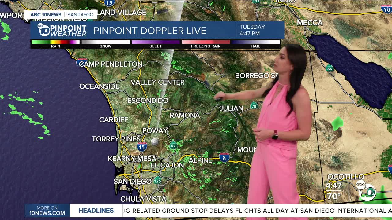


It was another warm day, though most of the county was slightly cooler than yesterday. Highs were in the 70s and 80s nearly everywhere, which is near to 8 degrees above normal.
High clouds moved across the county today ahead of a storm that has been stalled offshore and is starting to approach Southern California. This system will bring a 10 to 15 degree drop in temperatures away from the coast on Wednesday and a chance of patchy drizzle to a few stray showers overnight Tuesday into Wednesday morning and again Wednesday night.
Warmer Thursday and Friday before another slight cool-down this weekend as a storm passes by to the north, bringing a slight chance of marine layer drizzle by Sunday morning. There remains uncertainty on whether we will even get rain, as the storm will weaken as it moves south through California.
This weekend you can expect mid-60s to mid-70s at the coast, mid-70s to low-80s inland, 70s and 60s in the mountains and mid-80s to low-90s in the desert.
Wednesday's Highs:
Coast: 66-72°
Inland: 68-75°
Mountains: 57-70°
Deserts: 84-87°
Follow ABC 10News Meteorologist Megan Parry on Facebook at Megan Parry 10News, Instagram @mis_meg_wx and Twitter @10NewsParry.
