

A cold Pacific storm will bring rain, wind and cool temperatures across the county Tuesday. This storm is early for the season, bringing temperatures 5 to 20 degrees below normal, making it feel more like winter.
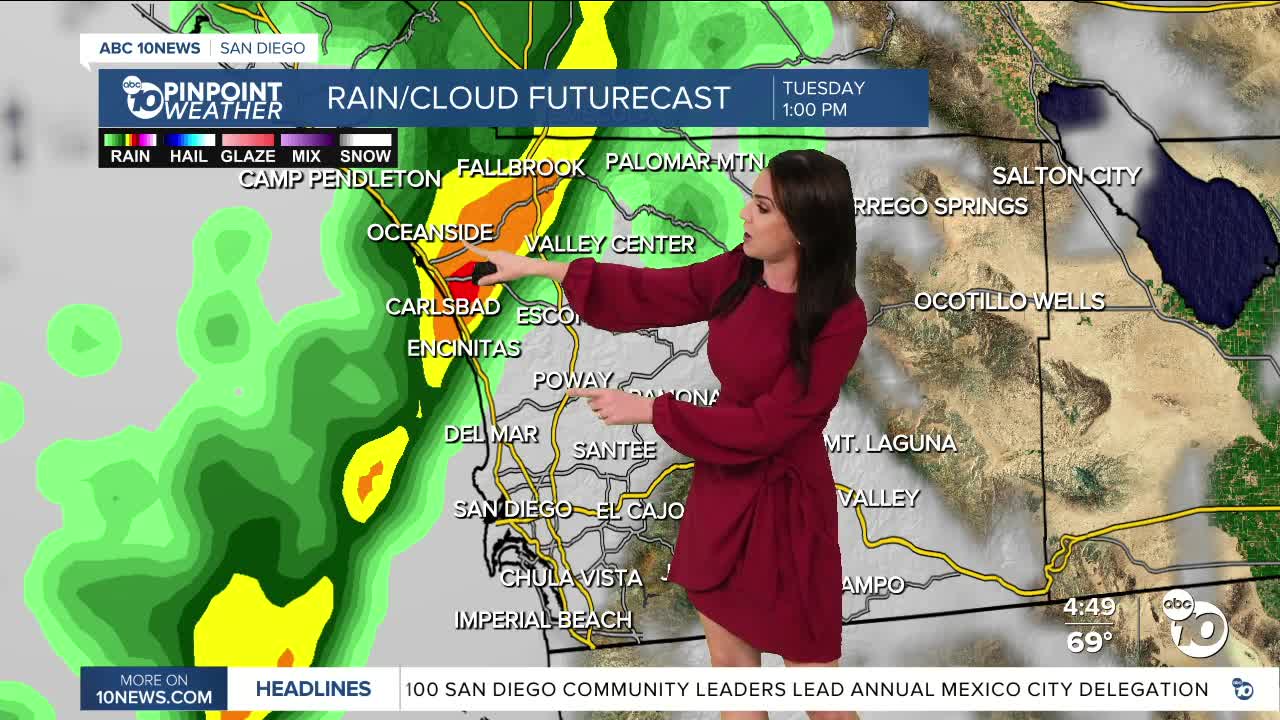
While there is a chance of drizzle or a few stray light showers overnight into Tuesday morning, the rain will become more widespread and heavier as the cold front swings through the county. Shower activity will build late morning into the afternoon, tapering off by the evening commute. Rain will build first in the north county then spread south heading into the afternoon. A few light showers may linger into early Wednesday morning.
Rainfall totals will average between .25 and .75" and locally up to 1.00" from the coast to the mountains, with lighter totals in the deserts.
Gusty winds impacted the county today with peak gusts over 30mph for the coast and valleys and a few gusts over 40mph in the mountains and deserts. Winds will build tomorrow morning for the coast and valleys with westerly winds of 15 to 35mph, while the worst of the wind will impact the mountains and deserts late morning into the afternoon with gusts of 25 to 45mph and isolated gusts up to 55mph. You may want to secure any outdoor decorations that could blow away, like Halloween inflatables.
Sunshine returns Wednesday, but it will be quite cool in the morning in the 50s for most of the county, and 40s and even 30s in the mountains. Temperatures warm several degrees each day heading into the weekend with Saturday the warmest day of the week when we'll see 70s for the coast and mountains, mostly low-80s inland and mid-80s in the deserts.
We may get another chance of rain early next week, as another cold storm arrives, but rainfall totals this far out don't look as high as the storm we'll experience Tuesday.
Tuesday's Highs:
Coast: 64-68°
Inland: 63-68°
Mountains: 49-63°
Deserts: 76-79°
Follow ABC 10News Meteorologist Megan Parry on Facebook at Megan Parry 10News, Instagram @mis_meg_wx and Twitter @10NewsParry.
