

TGIF!
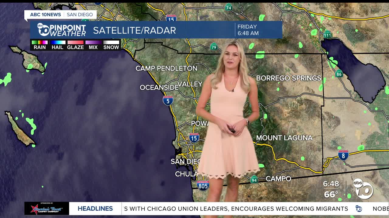
Happy Friday everyone- we are waking up to yet another muggy day ahead.
And we can’t rule out the shower and thunderstorm chances just yet!
We are still pulling some moisture from what’s left of Tropical Storm Priscilla, bringing in chances for showers this afternoon.
We aren’t expecting too much in terms of heavy rainfall- our mountains and deserts will see the majority of today’s moisture.
Flooding isn’t too likely, as a flood watch stays one county over.
Localized flooding could pop up, especially in the spots that will see the highest rainfall totals.
We will see these rain chances linger into Saturday morning, before we dry up and cool down.
We’re still above average temperature-wise on Friday, and this humidity is just making it feel even warmer.
Coastal spots should see highs in the low 70s and upper 60s.
Our inland communities will be reaching highs in the low 80s and upper 70s.
Mountains will be in the mid 70s, while our deserts will be getting up to the low 90s.
Our mountains and deserts have a breezy start to the weekend, with the potential to see gusts up to 45 mph in the afternoon on Saturday.
Looking ahead to next week, we are cooling down significantly, as a colder storm approaches.
Some spots could even see temperatures 15 degrees below average.
We will see rain chances start to pick up on Tuesday, so we are not out of the woods yet!
Friday's Highs:
Coast: 70-74°
Inland: 76-81°
Mountains: 76-83°
Deserts: 89-93°
Follow ABC 10News Weather Anchor Ava Kershner on Instagram, Facebook, and X.
