

The marine layer will continue to spread inland tonight with patchy fog possible into Friday morning. Clouds will clear by mid to late morning, then roll in again by late tomorrow afternoon and evening. Low clouds and patchy fog will continue each night and morning into the weekend.
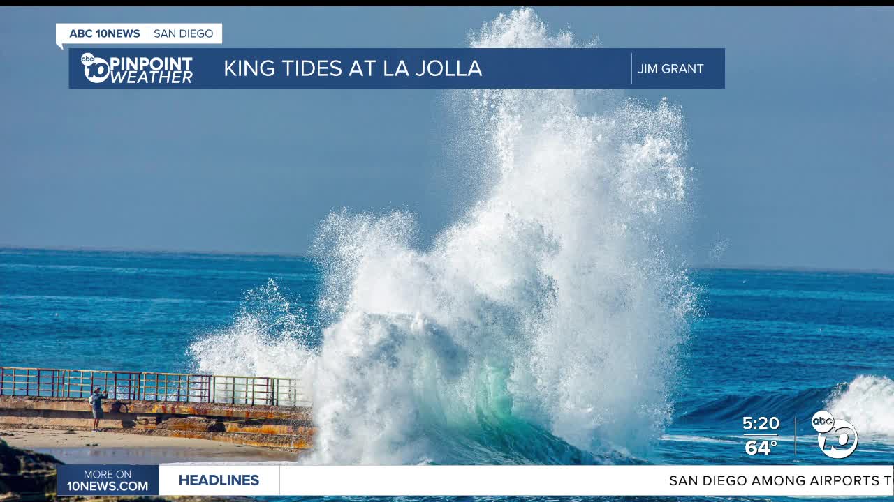
King Tides will continue on Friday, but surf will begin to subside; however, minor coastal flooding will be possible during the morning high tide. A Beach Hazards Statement remains in effect until 2am Saturday. High tide on Friday is at 9:16am.
High pressure will build over the weekend as winds will turn weakly offshore, leading to drier conditions and warmer weather. This weekend we'll see 70s for the coast and mountains with 80s inland and deserts. Temperatures on Sunday will be up to 15 degrees warmer than normal, and up to 20 degrees above average on Monday, which will be the warmest day. A few record highs will be within reach both days.
Click here to see local records and averages.
By mid to late next week, our weather pattern shifts with the chance of widespread rain moving into the county. There remains quite a bit of uncertainty on timing and totals but given our Moderate and Severe drought conditions, any rainfall is welcome! At this point rain is looking possible as early as Wednesday, but more likely late Thursday through Saturday.
Friday's Highs:
Coast: 68-75°
Inland: 74-82°
Mountains: 68-83°
Deserts: 88-91°
Follow ABC 10News Meteorologist Megan Parry on Facebook at Megan Parry 10News, Instagram @mis_meg_wx and Twitter @10NewsParry.
