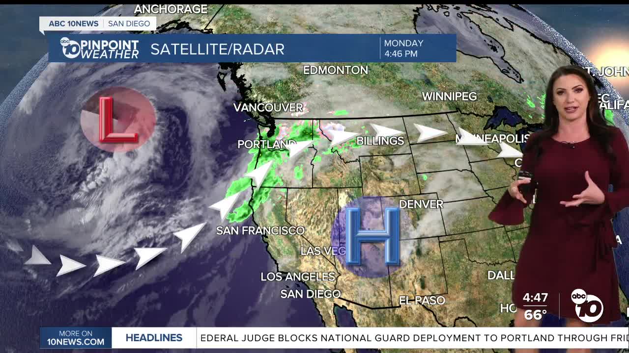


The marine layer will return tonight and, just like today, will bring misty conditions and possible drizzle and areas of fog into Tuesday morning. A better chance for light accumulations Tuesday night into Wednesday morning as a storm passes to the north, acting to enhance our marine layer locally.
That storm will also pick up the winds in the mountains and deserts on Wednesday with westerly winds of 20 to 45mph.
Cooling off through Thursday, which will be the coolest day of the week with 60s and 70s for most of the county and 80s in the deserts.
Winds turn weakly offshore this weekend, leading to more sunshine, drier conditions, and warmer weather.
King Tides will impact the coast on Thursday and Friday, along with elevated surf, which may lead to minor coastal flooding.
High Tides for La Jolla Scripps Pier:
Wednesday 11/5: 6.8 ft at 8:06 AM
Thursday 11/6: 6.9 ft at 8:42 AM
Friday 11/7: 6.8 ft at 9:06 AM
Looking ahead to next week there is a chance the storm door will be opening in Southern California. There are three storms that could bring rain to the county starting as early as Wednesday next week. There remains quite a bit of uncertainty but given our Moderate and Severe drought conditions, rainfall is welcome!
Tuesday's Highs:
Coast: 66-73°
Inland: 72-79°
Mountains: 67-80°
Deserts: 87-90°
Follow ABC 10News Meteorologist Megan Parry on Facebook at Megan Parry 10News, Instagram @mis_meg_wx and Twitter @10NewsParry.
