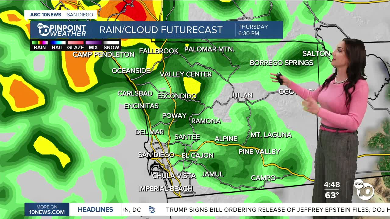


Storm three of the week will bring widespread rain the rest of tonight with periods of heavy rain. The worst of the rain will hit between through 10/11pm and localized flooding will be possible and ponding on the roadways.
Click here to see rainfall totals where you live.
This storm, like the last two, is going to get separated from the jet stream, making it a bit trickier to forecast. The storm will dive south of San Diego on Friday, and depending on how far away it tracks, it will determine how much rain we see on Friday. You can at least expect occasional showers, light to heavy, and a slight chance of thunderstorms. The best chance of impactful rain on Friday will be in the mountains and deserts.
As the storm starts to move west, we'll see another round of showers Saturday, the track again will determine how much rain we see. Showers will taper off into the afternoon and evening, drying out by Sunday. Peak rain activity on Saturday will again be focused over the mountains and deserts.
Rainfall totals will average between .50 to 1.50" for the coast and valleys, 1 to 2" in the mountains and .25 to 1" in the desert.
Gusty winds will accompany this storm with gusts of 20 to 30mph for the coast and valleys and up to 40mph in the mountains and deserts.
Sunshine returns on Sunday with warming temperatures into Thanksgiving next week.
Thanksgiving will be warm with temperatures mostly 5 to 10 degrees above average under sunny skies. You can expect 70s for the coast and deserts, 80s inland and 60s in the mountains.
While we get a break in the rain through the holiday, another storm is possible as early as the weekend, which may cause travel headaches for everyone coming home.
Friday's Highs:
Coast: 60-65°
Inland: 58-66°
Mountains: 39-54°
Deserts: 60-62°
Follow ABC 10News Meteorologist Megan Parry on Facebook at Megan Parry 10News, Instagram @mis_meg_wx and Twitter @10NewsParry.
