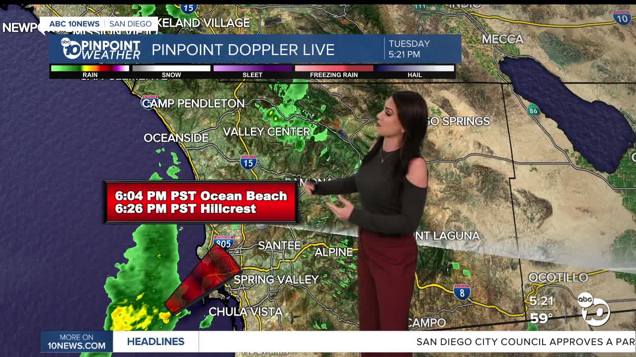


The second storm of the week is continuing to bring a few showers to the county tonight, and even some light snow in our higher mountains. Some areas picked up over an inch of rain with this most recent storm and San Diego's surplus continues to grow, now over 2 inches!
Click here to see rainfall totals where you live.
We get a brief break in the rain on Wednesday with only a slight chance of a stray shower near the mountains in the afternoon. Mostly sunny to partly cloudy skies across the county, but cool temperatures still, 5 to 15 degrees below average.
The third storm of the week has more uncertainty with timing and totals as it separates from the jet stream later this week. As of now, the best chance of rain looks to arrive late Thursday with peak activity Friday and showers tapering off Saturday.
Preliminary forecast totals will average between .75 to 1.25" for the coast and valleys, 1 to 2" in the mountains and less than .50" in the desert.
Sunshine returns on Sunday with warming temperatures into early next week, and we should get a break in the rain for a bit.
Wednesday's Highs:
Coast: 60-64°
Inland: 58-66°
Mountains: 42-56°
Deserts: 66-68°
Follow ABC 10News Meteorologist Megan Parry on Facebook at Megan Parry 10News, Instagram @mis_meg_wx and Twitter @10NewsParry.
