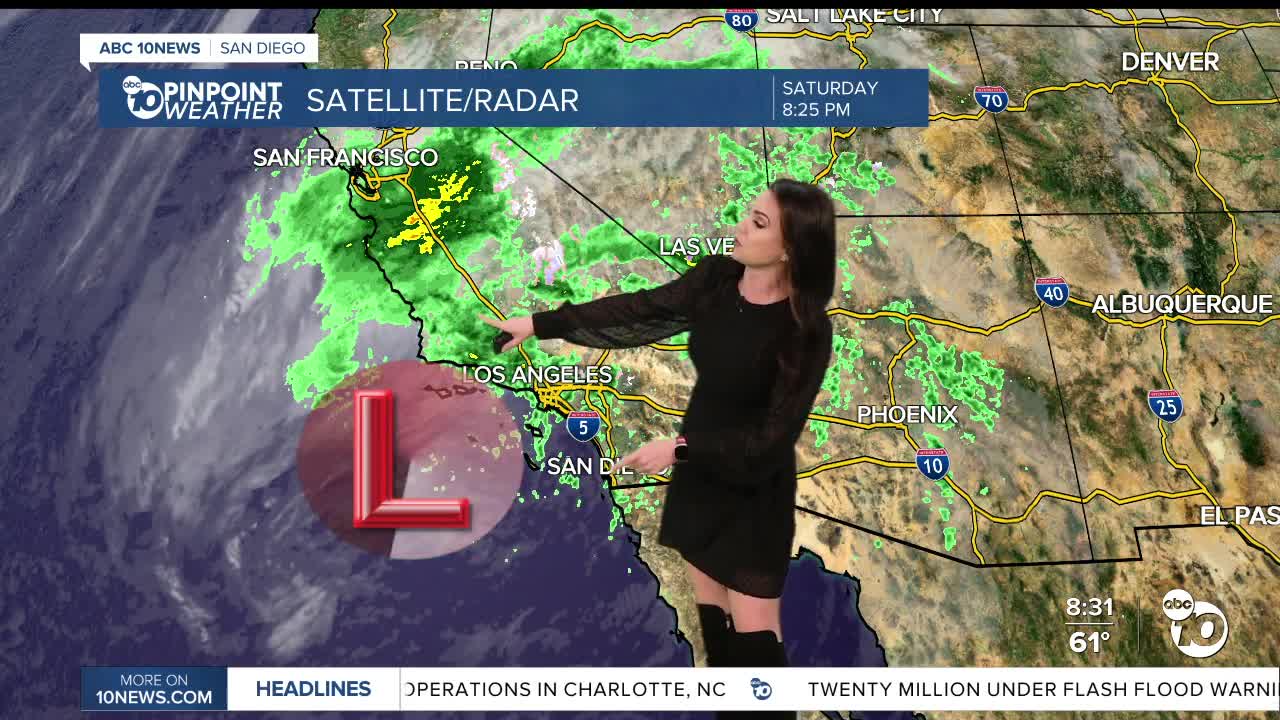


Widespread rain impacted the county today as a Pacific Storm approached Southern California. While the worst of the steady and heavy rain is over, periods of rain will continue into Sunday, with heavy rain at times. The best chance of rain on Sunday will be in the morning, with only isolated showers by the afternoon and some sunshine mixing in. More rain is expected next week.
Rainfall totals were impressive, with widespread 48-hour totals over 1.00" and locally over 2.50". The San Diego International Airport set a daily rainfall record of 1.20" today, bringing our current water year surplus to 0.87", which runs from October 1st, 2025, to September 30, 2026.
Several other daily record rainfall totals were also set today:
- Oceanside at 2.05"
- Ramona at 0.94"
- Brown Field at 0.55"
- Kearny Mesa at 0.81"
Click here to see rainfall totals where you live.
Gusty winds accompanied this storm with widespread gusts over 20mph and peak gusts to 45mph at the San Diego Airport, which resulted in an Aviation Weather Warning earlier in the day. The strongest wind gusts were clocked at 58mph at Cuyamaca Peak.
It will remain breezy Sunday, though peak gusts will be less than 30mph in the mountains and deserts.
The wind picks up again on Monday as a second, colder storm arrives, bringing increasing showers late Monday morning into the afternoon, with periods of rain into Tuesday. Westerly winds will gust anywhere from 25 to 50mph in the mountains and deserts, and mostly less than 30mph for the coast and valleys.
Rainfall totals for this second storm, Monday and Tuesday, will average between .50 to 2.00" for the coast and valleys, 1 to 3" in the mountains, and .25 to .75" in the deserts. The highest totals will likely be in the north county, just like we saw with this most recent storm.
Wednesday looks to be a drier day before a potential third storm brings more rain and wind to the county for the end of the week. There is more uncertainty with this third storm, with the chance of rain any time between Thursday and Saturday.
The cool weather sticks around all week with temperatures Sunday 5 to 10 degrees below average and locally up to 20 degrees below average on Tuesday, which will likely be the coolest day of the week. But all of next week temperatures will remain mostly 5 to 15 degrees below average.
Sunday's Highs:
Coast: 63-67°
Inland: 63-68°
Mountains: 46-58°
Deserts: 70-74°
Follow ABC 10News Meteorologist Megan Parry on Facebook at Megan Parry 10News, Instagram @mis_meg_wx and Twitter @10NewsParry.
