

A storm brought rain to the county last night into today with accumulations of a few hundredths up to 1.27" in Pine Hills!
Click here to see real-time rain totals where you live.
It was also a brisk and breezy day with 60s for most of the county, 50s for the cooler valleys, 40s and 30s in the mountains and 70s in the deserts. Some of our mountains were 25 degrees below average today!
The wind picked up with widespread gusts over 20mph for the coast and valleys, up to 36mph in El Cajon and over 50mph in some of the mountains like Mt. Laguna.
Not as windy but still breezy on Wednesday with westerly winds of 15 to 25mph anywhere in the county.
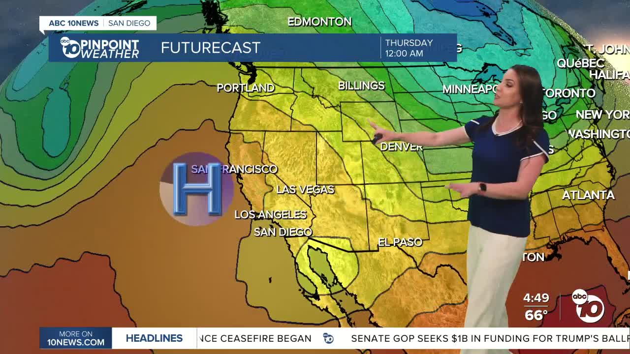
A warming trend begins Wednesday when highs will be closer to average, then even warmer this weekend and next week as high pressure builds over the west. Temperatures will top out 5 to nearly 20 degrees above average across the county by Monday!
This Mother's Day weekend, you can expect 70s for the coast, 80s inland, 70s and 80s in the mountains, and 100s in the deserts.
Starting Thursday, it's possible to see low clouds, aka May Gray, linger at the beaches. When high pressure brings warm weather inland it creates a greater temperature inversion from the cool ocean water, leading to a persistent cloud bank stuck at the beach.
Wednesday's Highs:
Coast: 66-71°
Inland: 68-72°
Mountains: 50-62°
Deserts: 75-78°
Follow ABC 10News Meteorologist Megan Parry on Facebook at Megan Parry 10News, Instagram @mis_meg_wx and Twitter @10NewsParry.
