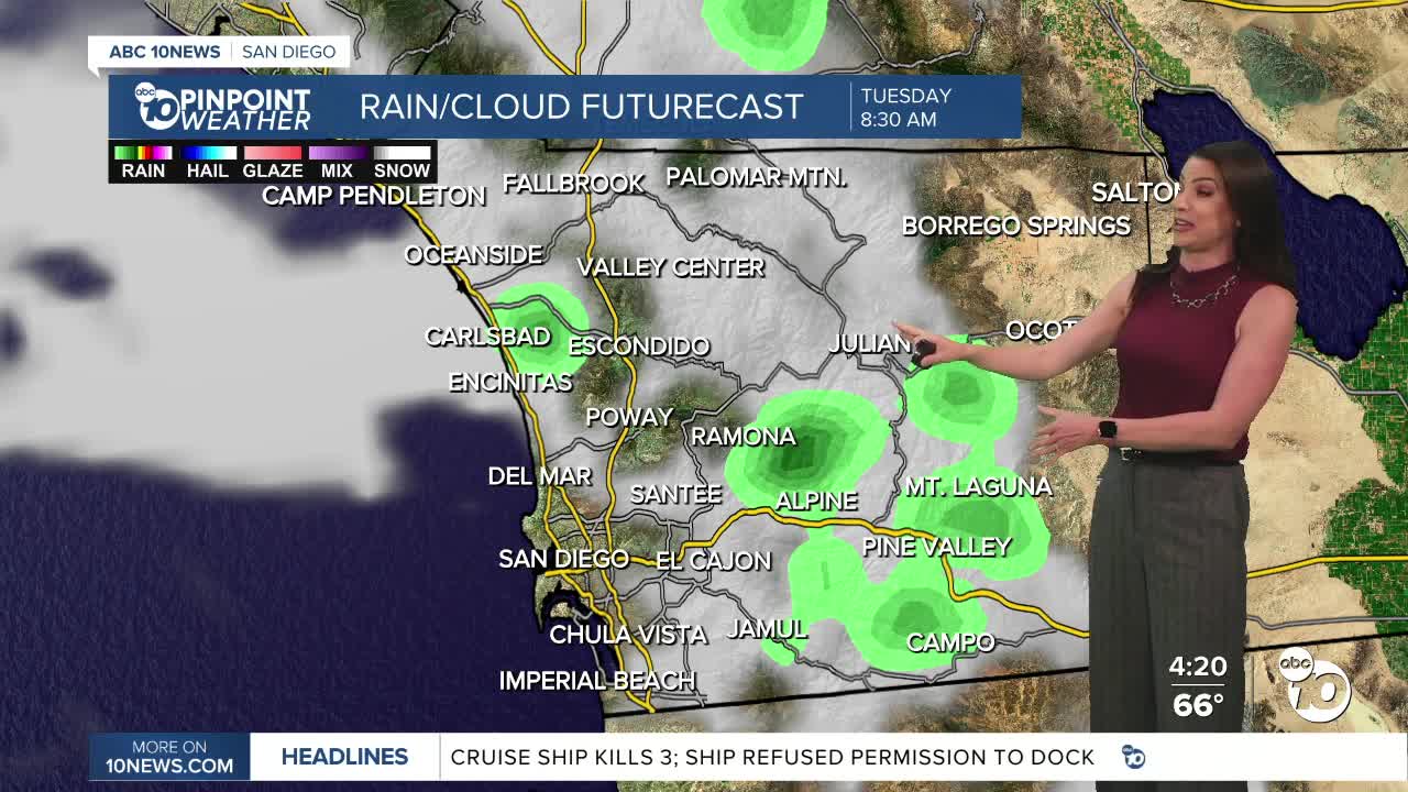


A Pacific Storm will bring isolated showers Monday night into Tuesday, with peak activity Tuesday morning, which may lead to a slow morning commute where roads are wet.
Accumulations will be light between a few hundredths to a quarter of an inch, locally to half an inch from the coast to the mountains, with no rain expected in the deserts.
The wind will remain gusty at times into Tuesday, with westerly winds of 20 to 45mph in the mountains and deserts, with isolated higher gusts. Peak winds Monday reached over 60mph. The coast and valleys will see westerly gusts of 15 to 25mph.
Tuesday will be the coolest day of the week with temperatures topping out 5 to 20 degrees below average away from the coast!
Temperatures rebound close to normal on Wednesday, followed by a major warm-up for the end of the week into early next week. Temperatures will top out 5 to nearly 20 degrees above average across the county by Monday!
This Mother's Day weekend, you can expect 70s for the coast, 80s inland, 70s and 80s in the mountains, and 100s in the deserts.
Tuesday's Highs:
Coast: 64-68°
Inland: 65-68°
Mountains: 47-58°
Deserts: 74-78°
Follow ABC 10News Meteorologist Megan Parry on Facebook at Megan Parry 10News, Instagram @mis_meg_wx and Twitter @10NewsParry.
