



A storm stalled over Central California will slowly move south into Friday morning bringing thick marine layer clouds, patchy drizzle to a few light showers and breezy conditions to the mountains and deserts.
Uneven clearing into the afternoon with some areas getting more sunshine than others.
Click here to see rainfall totals where you live.
Not as windy in the mountains and deserts as it has been this week, but westerly gusts of 20 to 40mph will still be possible, while the coast and valleys will continue to see gusts of 15 to 25mph.
Faster clearing and warming temperatures are expected this weekend into next week.
This weekend, temperatures will warm back near 70 at the coast, 70s and a few 80s inland, 70s in the mountains, and mid to upper-90s in the deserts.
Warmer next week as high pressure builds, bringing more 70s at the coast, 80s inland, nearing 80 in the mountains, and 100s in the deserts.
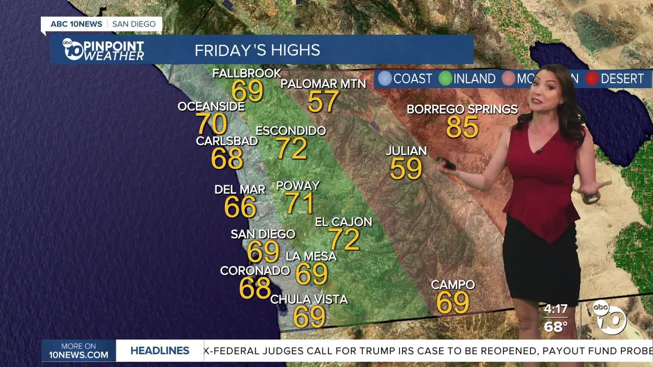
Friday's Highs:
Coast: 66-70°
Inland: 67-72°
Mountains: 56-69°
Deserts: 83-87°
Follow ABC 10News Meteorologist Megan Parry on Facebook at Megan Parry 10News, Instagram @mis_meg_wx and Twitter @10NewsParry.
