

Friday and Saturday will be the warmest days of the week with 70s for most of the county and mid-90s in the deserts. The marine layer will build each night and morning for the coast and valleys while high clouds will stream across the county in the afternoons this weekend.
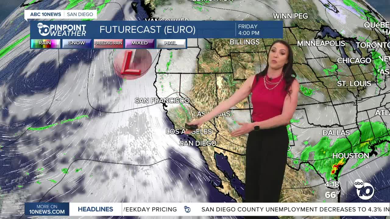
A Pacific storm will bring a chance of light rain Monday into Tuesday, a dip in temperatures, and gusty winds for the mountains and deserts. While we may see misty conditions or patchy drizzle as early as overnight Sunday, the best chance of rain will be overnight Monday into Tuesday.
Accumulations will be light between .05 to .25" from the coast to the mountains.
Temperatures will be 5 to 15 degrees below average away from the coast Monday and Tuesday before temperatures rebound back to normal Wednesday and even warmer for the end of the week as high pressure builds over the west.
Saturday's Highs:
Coast: 67-74°
Inland: 71-81°
Mountains: 72-82°
Deserts: 95-98°
Follow ABC 10News Meteorologist Megan Parry on Facebook at Megan Parry 10News, Instagram @mis_meg_wx and Twitter @10NewsParry.
