

A storm passing through Baja brought a little rain to the county Monday, from a trace to .08", though most of the county didn't receive any rain. A slight chance of stray showers will linger through this evening.
The marine layer will build overnight, bringing patchy fog to the coast and valleys by Tuesday morning. Clouds will clear to sunny skies and fair temperatures by the afternoon, trending near normal across the county.
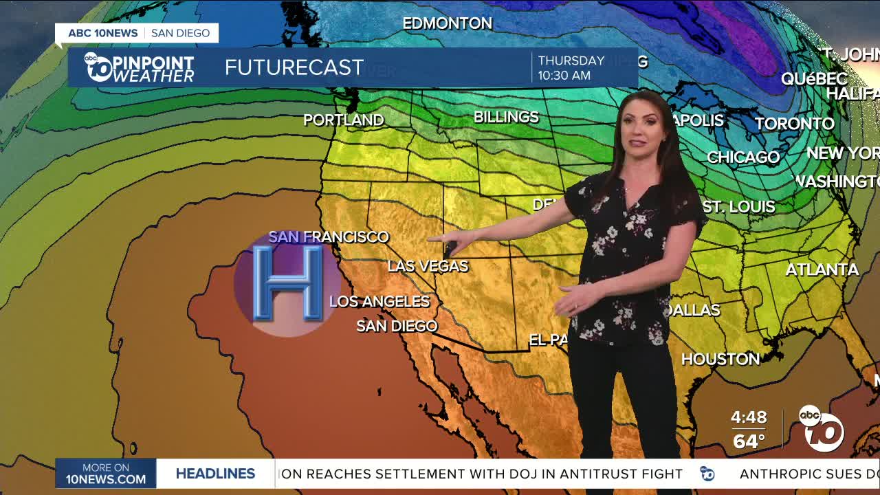
Low clouds and patchy fog again on Wednesday morning, becoming much warmer by the afternoon, with the heat turning up even more for the end of the week as high pressure builds.
Temperatures warm 5 to 12 degrees from Tuesday to Wednesday with another 5 to 15 degree jump by Thursday. Friday will be the hottest day of the week for most of the county with 80s at the coast, 90s inland, 70s in the mountains and near 100 in the desert. These temperatures will be 10 to 25 degrees above normal!
High pressure with weak Santa Ana winds will be responsible for the heat Thursday and Friday. The sea breeze returns over the weekend, and high pressure weakens, which will lead to a minor drop in temperatures. Despite the drop, temperatures will remain 10 to 15 degrees above average.
Warmer weather is expected next week as another round of high pressure builds over the west. Several record highs will likely fall later this week into next week.
Tuesday's Highs:
Coast: 64-68°
Inland: 66-69°
Mountains: 56-67°
Deserts: 81-85°
Follow ABC 10News Meteorologist Megan Parry on Facebook at Megan Parry 10News, Instagram @mis_meg_wx and Twitter @10NewsParry.
