

The marine layer returns overnight, with patchy fog for the morning commute along the coast and in the valleys. Clouds will clear to sunny skies by mid to late morning.
It will be 5 to 10 degrees cooler in the mountains and deserts starting Thursday, closer to early March normals.
Gusty winds will target the mountains and deserts with a Wind Advisory in effect until 4am Thursday for westerly winds of 15 to 25mph and gusts to 45mph.
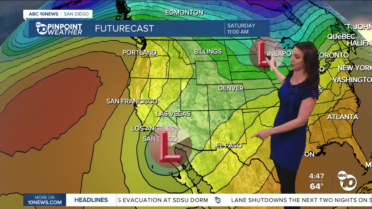
A storm making its way south across the West is responsible for all of our weather this week. As it approaches, it is acting to enhance the marine layer into Thursday morning and bring the gusty winds to the mountains and deserts. Then it dives south of San Diego, setting up to bring us Santa Ana winds Friday through Sunday, peaking Saturday.
This will be a moderate to potentially strong Santa Ana wind event on Saturday, depending on where the storm actually ends up. Preliminary forecast winds out of the northeast of 20 to 40mph anywhere in the county and locally over 60mph in the wind-prone areas.
That storm then moves briefly over the Pacific and potentially brings us a chance of rain late Sunday into Monday as it moves through Baja. The track will determine whether we get any rain, so stay with the Pinpoint Weather Team, San Diego's Most Accurate Forecast, for updates.
Things dry out and warm up by midweek next week.
Thursday's Highs:
Coast: 64-70°
Inland: 67-74°
Mountains: 54-67°
Deserts: 76-79°
Follow ABC 10News Meteorologist Megan Parry on Facebook at Megan Parry 10News, Instagram @mis_meg_wx and Twitter @10NewsParry.
