



Weather headlines:
- Brief and minor break in the high temperatures and humidity through midweek.
- Even hotter late in the week, and Saturday may be the hottest summer day so far.
- High surf, strong rip currents and coastal flooding possible through Saturday
- Monsoon flow weakens, so it won't be quite as humid. Humidity is expected to surge again next week
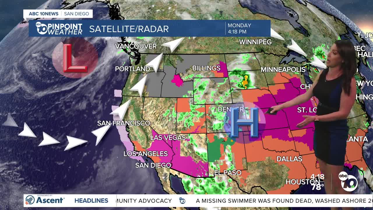
The heat dome, which has brought very hot days and record-warm nights, is moving east, giving us a minor and brief break from the worst of the heat and humidity through Wednesday.
Wednesday will be the coolest day of the week, still warm, but temperatures will be near average in the 70s for the coast, mostly 80s inland to the mountains and around 111 degrees in the deserts.
Temperatures start to go back up Thursday, becoming much hotter this weekend, with highs soaring 10 to 15 degrees above average away from the coast and several record highs within reach. The heat dome expands west, bringing in this heat, with Saturday the hottest day. Expect 80s at the beaches, 90s and some 100s inland to the mountains and nearing 120 degrees in the deserts.
Above-normal temperatures will stick around into next week, and humidity builds again by midweek as monsoon flow strengthens. We may see a chance of monsoon showers and thunderstorms in the mountains and deserts.
If headed to the beaches to beat the heat, be prepared for high surf, strong rip currents and possible coastal flooding all week. A Beach Hazards Statement is in effect until 5pm Wednesday for waves of 3 to 7 feet and strong rip currents. At 5pm Wednesday, this Statement will get upgraded to a High Surf Advisory and a Coastal Flood Advisory. For the High Surf Advisory, you can expect waves of 5 to 9 feet along south-southwest facing beaches and 3 to 6 foot waves along west facing beaches; this is in effect until 5pm Saturday.
For the Coastal Flood Advisory, we may see minor coastal flooding during the evening high tides and this will be in effect until 3am Saturday. High tide times:
- Wednesday: 6.11 ft at 9:36 PM PDT
- Thursday: 5.96 ft at 10:08 PM PDT
- Friday: 5.65 ft at 10:41 PM PDT
Tuesday's Highs:
Coast: 75-82°
Inland: 84-91°
Mountains: 84-96°
Deserts: 110-112°
Tips to Stay Safe in the Heat this Summer: Excessive heat is a danger to anyone, especially those with respiratory issues, people who work outdoors, children and the elderly. Make sure outdoor pets have safe shelter and cool water. Cars turn into ovens in a matter of minutes so be sure to check the back seat and never leave children or pets in the car. Wear light-weight, light-colored, loose-fitting clothing and stay hydrated! Avoid strenuous outdoor activities, enjoy air conditioning whenever possible and if you're working in the heat make sure to take breaks often and drink plenty of water.
Now is a good time to check your cars for loose tire tread or parts—anything that could easily spark a fire. In addition, make sure you have a go bag and working flashlights in case of an emergency or power outage. Also, prune and trim trees and shrubs to make a defensible space around your home.
Follow ABC 10News Meteorologist Megan Parry on Facebook at Megan Parry 10News, Instagram @mis_meg_wx and Twitter @10NewsParry.
