

The most recent storm didn't bring much rain today, with the mountains picking up the most, up to .16" at Lake Cuyamaca, while most coast and valleys didn't see measurable rain.
Click here to see real-time rainfall totals where you live.
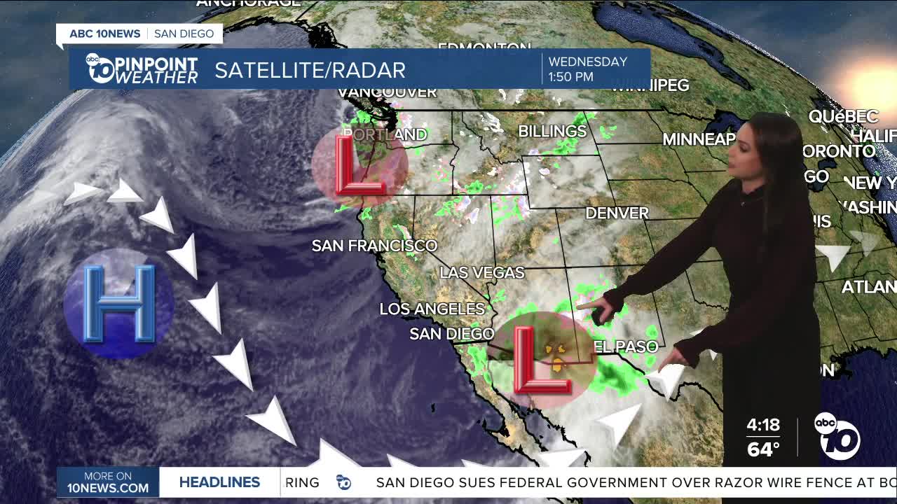
While there is a slight chance of a sprinkle or stray shower into Thursday morning, most areas will remain dry. The rain is moving out, and the wind is moving in.
Another storm will slide south and east of San Diego, which means we'll be on the dry side, but we will see strong winds.
A Wind Advisory is in effect for the mountains and deserts until 1pm Thursday. For the mountains expect sustained westerly winds of 20 to 35mph and strong gusts of 50 to 70mph, while the deserts will see winds of 15 to 30mph and gusts of 40 to 50mph, isolated to 60mph.
The coast and valleys will also experience gusty winds of 20 to 35mph, locally higher. The ground is saturated from recent rain, and with these strong winds, downed trees will be a concern. Be sure to pay attention to your surroundings and don't leave your vehicle parked within striking distance of a tree that may fall.
From strong onshore winds to gusty offshore winds. Moderate to locally strong Santa Ana winds develop by Friday morning and last through next week. These gusty winds will continue the threat of downed trees, but luckily, recent rain will help mitigate the fire danger.
This long-duration Santa Ana wind event looks to peak over the weekend, with the potential for a secondary peak next week as high pressure builds over the west.
Expect east and northeasterly winds of 30 to 45mph, locally over 60mph in the wind-prone areas, while humidity will drop between 10 and 20%.
With clear skies and dry conditions, overnight temperatures will plummet into the 30s for most of the county by Friday and Saturday mornings, and even into the 20s in the colder mountain and foothill neighborhoods.
Daytime temperatures will be getting warmer, mostly in the 70s for the coast and valleys this weekend into next week, with 70s in the deserts by Monday and 60s in the mountains by Tuesday.
Thursday's Highs:
Coast: 59-64°
Inland: 58-64°
Mountains: 42-55°
Deserts: 64-66°
Follow ABC 10News Meteorologist Megan Parry on Facebook at Megan Parry 10News, Instagram @mis_meg_wx and Twitter @10NewsParry.
