

One more storm to go before we finally dry out and get a long break from this rainy weather. San Diego has received an incredible amount of rain over the last few weeks, and our current surplus since the water year began on October 1st is at 4.49" in San Diego, 2.60" in Ramona, 2.74" in Carlsbad, 1.77" in Oceanside, and 3.05" in Kearny Mesa.
Since Christmas Eve, we've received 12.06" in Palomar Mountain, 5.24" in El Cajon, 4.61" in Poway, 4.33" in National City, 4.29" in San Diego, and 3.72" in Vista.
Click here to see real-time rainfall totals where you live.
The next storm located west of Northern California will dive south towards Southern California, finally pushing inland just south of San Diego. There remains some uncertainty on where the storm will track; if it tracks farther north, we'll see more rain, while if it tracks farther south, we'll see less rain.
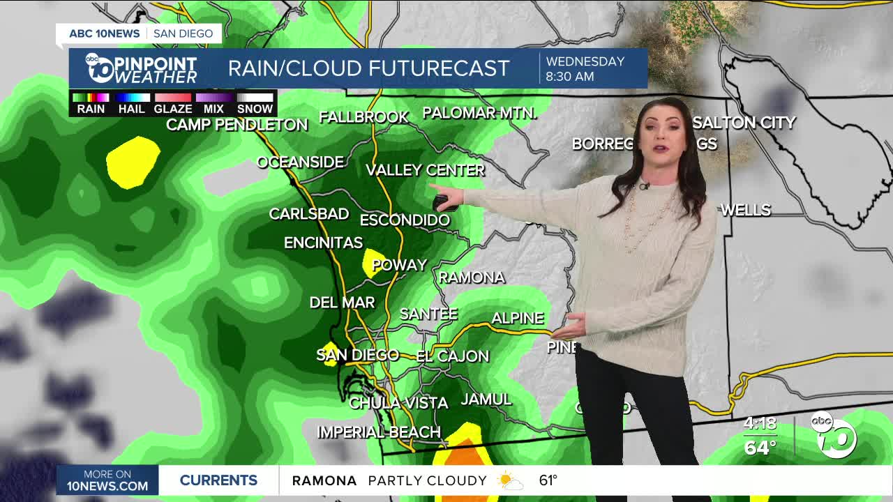
Tuesday will be mostly dry but remains unsettled, so there is a slight chance of sprinkles or a stray shower. As the storm arrives, we'll see scattered showers on Wednesday morning, making for a wet morning commute, with showers becoming more isolated by the afternoon and evening before finally drying out on Thursday.
Rainfall totals will be lighter compared to recent storms, with most areas picking up between .15 to .50", with the highest totals in the southern portions of the county.
It will be breezy Wednesday in the mountains and deserts with westerly gusts of 20 to 35ph.
A long-duration Santa Ana wind pattern is expected to begin Thursday night into Friday morning, peaking over the weekend with another round of Santa Ana winds next week as high pressure builds over the west.
While daytime temperatures will be warming up, with mostly 70s this weekend, overnight and morning temperatures will be getting colder due to the drier conditions and lack of overnight clouds. Expect the coldest inland spots by Friday morning to be in the 30s as well as the mountains and deserts.
Tuesday's Highs:
Coast: 62-66°
Inland: 62-68°
Mountains: 47-60°
Deserts: 68-69°
Follow ABC 10News Meteorologist Megan Parry on Facebook at Megan Parry 10News, Instagram @mis_meg_wx and Twitter @10NewsParry.
