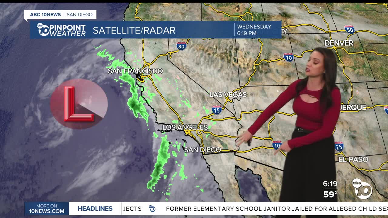


It was a cooler and cloudier day as a storm system approaches San Diego, which will bring the chance of rain Thursday through Saturday, with peak activity on Friday.
A Pacific storm will pass south of San Diego, bringing light, isolated showers on Thursday, scattered showers on Friday, and a slight chance of showers lingering into Saturday. The best chance of rain on Saturday will be near the mountains.
Rainfall will be mostly light to moderate, with totals averaging between .10 to .50", locally higher, especially near the mountains.
It will be cooler through Saturday with temperatures trending near to 7 degrees below average. Expect 60s for most coast and valleys, 40s and 50s in the mountains, and upper-60s to low-70s in the deserts.
Temperatures rebound slightly on Sunday with dry weather returning. Fair early next week, with temperatures near average. Expect 60s and 70s for most of the county and 50s in the mountains.
Thursday's Highs:
Coast: 59-65°
Inland: 64-68°
Mountains: 50-65°
Deserts: 70-73°
Follow ABC 10News Meteorologist Megan Parry on Facebook at Megan Parry 10News, Instagram @mis_meg_wx and Twitter @10NewsParry.
