

Historic rainfall impacted the county from New Year's Eve to New Year's Day. Daily record rainfall totals were set on January 1st in San Diego (2.07"), Chula Vista (1.38"), El Cajon (2.52"), Lake Cuyamaca (2.69") and Campo (1.72").
Click here to see the daily records.
Impressive rainfall totals over the last 3 days, with most areas picking up 1 to 2 inches of rain, while Palomar Mountain received 5.86" and Julian 4.21".
Click here to see real-time rainfall totals where you live.
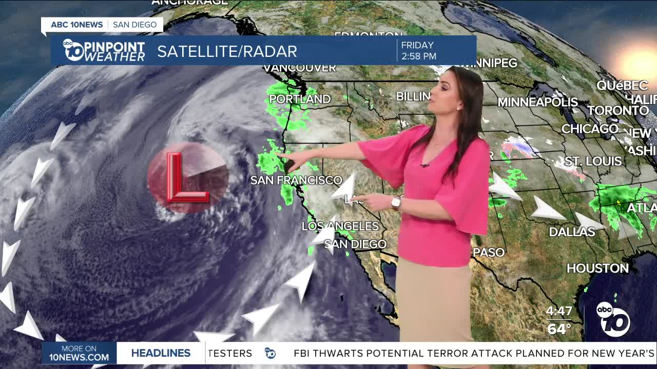
A deep trough of low pressure is set up over the Pacific and will usher in waves of energy, continuing unsettled weather through at least Wednesday.
While there is a slight chance of showers during the day Saturday, the next round of scattered showers will be Saturday evening into Sunday morning, followed quickly by another round Sunday afternoon/evening. This storm will bring mostly light to moderate rain with rainfall totals between .15 to .50" for most of the county, locally up to 1 inch.
This storm is not a huge windmaker, it will be breezy to gusty Saturday afternoon into Sunday afternoon. Expect westerly gusts up to 25mph for the coast and valleys and up to 45mph in the mountains and deserts.
A few isolated showers will be possible Monday before one final storm brings another rain chance Tuesday into Wednesday. There is some uncertainty with the track of this final storm, as some weather models take it south into Baja, which would lead to drier conditions locally, while if it tracks north over Southern California, it will bring a lot more rain.
Saturday's Highs:
Coast: 63-68°
Inland: 64-69°
Mountains: 49-63°
Deserts: 70-73°
Follow ABC 10News Meteorologist Megan Parry on Facebook at Megan Parry 10News, Instagram @mis_meg_wx and Twitter @10NewsParry.
