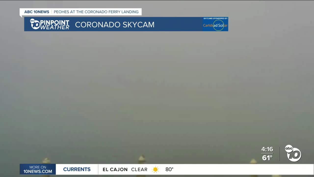


Patchy dense fog has rolled into areas along the coast near downtown, Coronado, and Ocean Beach, including the San Diego International Airport, where there have been dozens of flight delays and a ground stop as of 5:45pm.
It was another warm day across the county, with temperatures mostly 10 to 15 degrees above average, including 80s in the warmer coastal areas!
The sea-breeze is returning near the coast, leading to the formation of patchy dense fog. The sea-breeze will build there over the weekend, but with warm weather inland and weak Santa Ana winds, patchy dense fog will be a concern each night and morning near the coast.
It wasn't as windy today but still dry and breezy. Sill Hill has been the windiest spot, seeing gusts over 70 and 80mph since last Friday, while Wednesday and Thursday the strongest gusts were in the 50mph range. Weak Santa Ana winds continue through Monday morning for the inland and mountain communities with gusts generally less than 30mph.
High pressure over the west, coupled with Santa Ana winds, will keep temperatures 5 to 15degrees above average through Monday. That takes us into the 70s and 80s for most of the county and 60s for most mountains.
There will be quite a spread in morning low temperatures. Most of us will wake up in the 40s each morning, with 30s for the coldest neighborhoods, while most coastal communities will see 50s.
These warm conditions last straight into early next week, though a cooling trend begins Monday, and highs remain above average through at least Tuesday. A storm system passes to the north by Thursday and Friday which will enhance the marine layer and potentially bring a little rain to the county. There remains uncertainty on the track, but we can at least expect more comfortable humidity levels and cooler temperatures.
Friday's Highs:
Coast: 70-78°
Inland: 78-84°
Mountains: 56-75°
Deserts: 79-83°
Follow ABC 10News Meteorologist Megan Parry on Facebook at Megan Parry 10News, Instagram @mis_meg_wx and Twitter @10NewsParry.
