Today, Santee was the hottest spot in the entire country, warming to 92 degrees! Several record highs were set as well as temperatures soared 15 to 23 degrees above normal, including San Diego (83°), Vista (91°), Oceanside (89°), and Chula Vista (85°). While Escondido (88°) and El Cajon (88°) were shy of their record highs by just a degree or two.
Santa Ana winds impacted much of the county with widespread gusts of 20 to 35mph, while the strongest wind gust of 84mph was clocked at Sill Hill, located between Julian and Alpine.
Gusty Santa Ana winds will continue into Thursday with a Wind Advisory in effect for the inland and mountain communities until noon Thursday. Expect easterly winds of 15 to 25mph, widespread gusts of 20 to 35mph, gusts to 45mph for areas like Alpine and isolated gusts over 55mph for the typically wind-prone areas like Sill Hill, Hellhole Canyon and Big Black Mountain.
Fire danger will be elevated due to the warm, dry and windy conditions. Luckily, rain earlier in the season means the fuel moisture is still high, mitigating the critical fire threat, but you should still be fire safe.
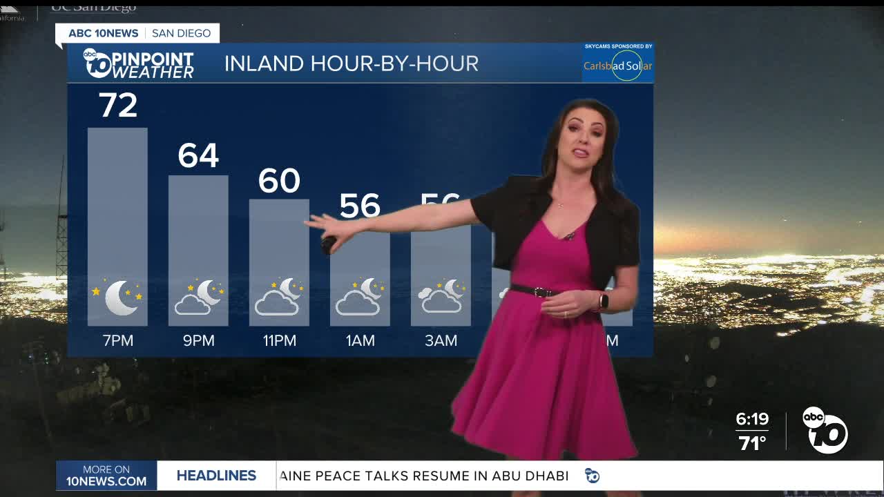
Clouds build Wednesday night with partly to mostly cloudy skies on Thursday, and a slight chance of sprinkles to a stray light shower continuing into Friday morning. The best chance, and it's not a great chance, will be near the mountains. Little to no accumulation is expected.
Temperatures plummet 10 to 15 degrees Thursday for the coast and valleys. Despite the cool-down, temperatures will remain 7 to 12 degrees above average.
Fair over the weekend with 60s and 70s for the coast and valleys, 50s and 60s in the mountains, and 70s and 80s in the deserts.
Much cooler by Tuesday and Wednesday next week when temperatures will trend near to slightly below average. Expect 60s for the coast and valleys, 50s and 40s in the mountains and low-70s and 60s in the deserts.
Next week, we may see a pattern shift, with our first chance of measurable rain late Monday through Wednesday, and the potential for more rain by mid-February.
Thursday's Highs:
Coast: 67-76°
Inland: 75-80°
Mountains: 56-74°
Deserts: 77-80°
Follow ABC 10News Meteorologist Megan Parry on Facebook at Megan Parry 10News, Instagram @mis_meg_wx and Twitter @10NewsParry.


