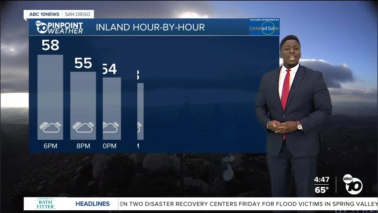


We're feeling the changes as a storm heads our way. Temperatures Friday will be slightly cooler, with coastal and inland neighborhoods seeing low to mid 60s.
We could have some drizzle and heavy mist on Friday morning, with partial clearing in the afternoon.
The storm eventually moves south, bringing us scattered showers this weekend. Activity will start light, then become widespread and moderate to heavy at times, especially towards Saturday evening. Light showers will linger into the first half of Sunday before drying out for the start of the workweek.
As of Thursday morning, projected rainfall estimates still look light, between .25-.50", greater in the North County and mountains.
A big concern with this storm will be the powerful winds targeting the mountains and deserts with peak gusts of up to 80mph on Saturday. A High Wind Watch activates for the mountains Sat. morning, while a Wind Advisory will go into place for the deserts. Downed trees, branches, and power lines will be a major concern for drivers traveling along the passes and highways near the foothill communities. The ground is still saturated, so be cautious of your surroundings and avoid parking near large trees.
The snow level will remain near 6,000 feet on Friday before crashing near 4,000 feet on Saturday overnight into Sunday. While Mt. Laguna and Palomar Mountain will likely see light snow, Julian could get a dusting.
Friday's Highs:
Coast: 61-65°
Inland: 60-66°
Mountains: 49-60°
Deserts: 71-77°
Follow ABC 10News Weather Anchor Moses Small on Instagram, Facebook and Twitter.
